Technology


Build insights at scale with the new CARTO Spatial Features data
Announcing CARTO Spatial Features 3.0! Explore global human activity, night light intensity & telecom infrastructure spatial data.
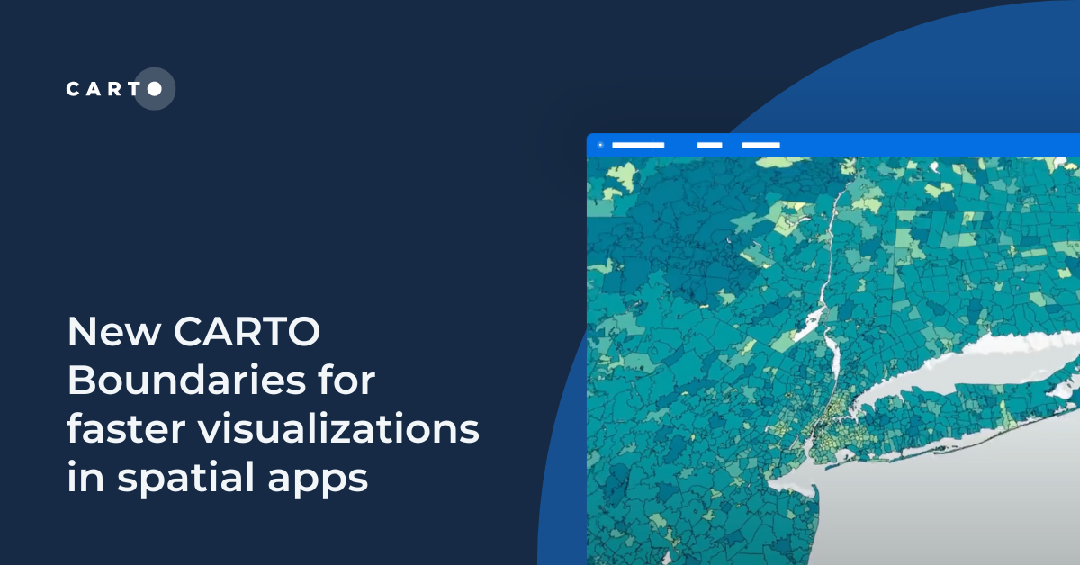

New CARTO Boundaries for faster visualizations in spatial apps
Announcing CARTO Boundaries for faster spatial app visualizations! Join data with pre-generated vector tilesets for efficient processing.
.png)


Transforming Data Center Locations for Nautilus Data Technologies
Learn how we are collaborating with Google Cloud to provide Nautilus Data Technologies with an innovative solution for data center site selection and monitoring.
New CARTO Boundaries for faster visualizations in spatial apps
Announcing CARTO Boundaries for faster spatial app visualizations! Join data with pre-generated vector tilesets for efficient processing.


Overture Maps data now on the cloud: how to use it with CARTO
Announcing Overture Maps data in the cloud! Seamlessly access, analyze, and visualize data on global buildings, POIs, boundaries & more with CARTO!
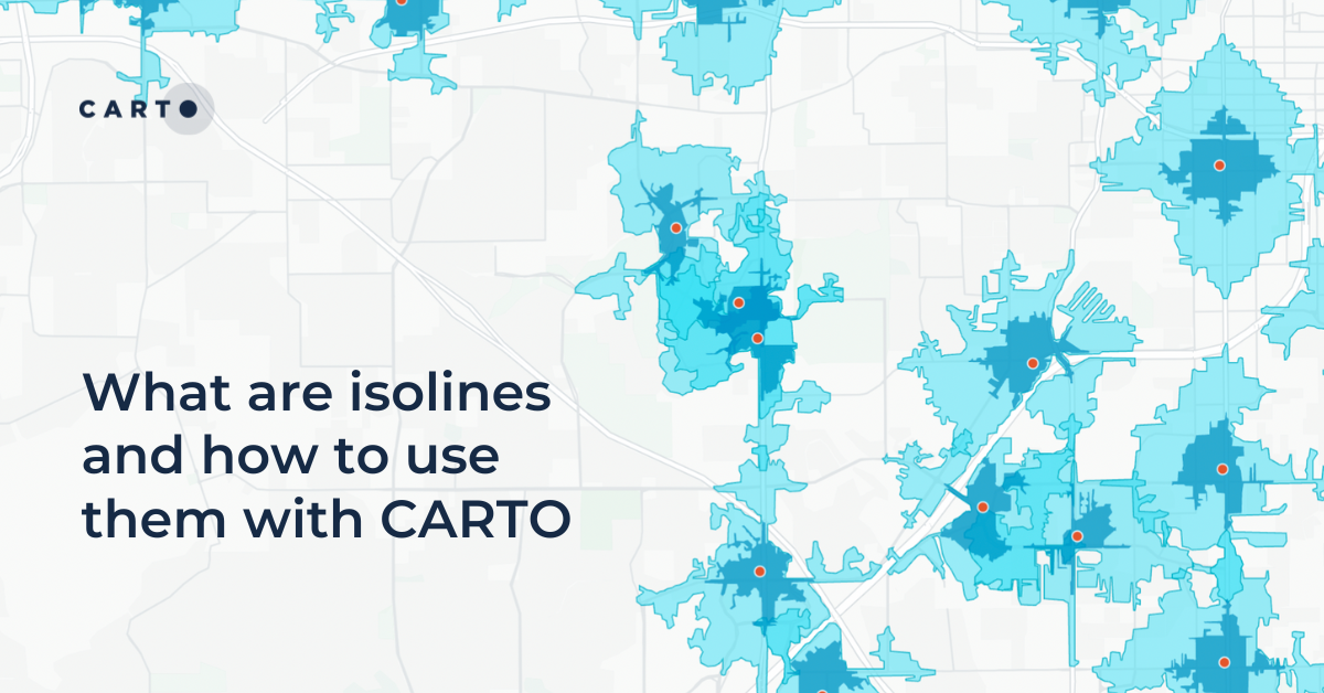
What are isolines and how to use them with CARTO
Learn what isolines are and how to use them at CARTO. Follow this quick guide for creating isolines & trade areas. Use them to derive actionable insights.

Now in CARTO: NielsenIQ data for building powerful CPG insights
Access powerful CPG insights with NielsenIQ data, now available in CARTO! Visualize trends, optimize strategies, and make confident decisions.
.png)

BT Active Intelligence Location Insights Now Available with CARTO
Access hyper-local footfall insights with BT Active Intelligence Location Insights, now available with CARTO! Explore granular mobility data in the cloud.


Introducing Workflows Templates: pre-built spatial analysis
Boost efficiency with CARTO Workflows Templates - no-code spatial analysis made easy. Explore pre-built templates for streamlined geospatial projects.
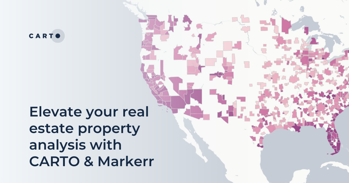
Elevate your real estate property analysis with CARTO & Markerr
Announcing CARTO & Markerr's data partnership! Subscribe to spatial real estate data including transactions, rent and property details.
.png)


Announcing Deck.gl v9: WebGPU ready & with TypeScript support
Announcing Deck.gl v9! Get ready for next-gen geospatial rendering, including TypeScript support & preparation for WebGPU.

Integrate analysis workflows in your cloud native apps with CARTO
Seamlessly spatial analysis into cloud-native apps; trigger workflows via API, parameterize processes & seamlessly integrate them into spatial apps.
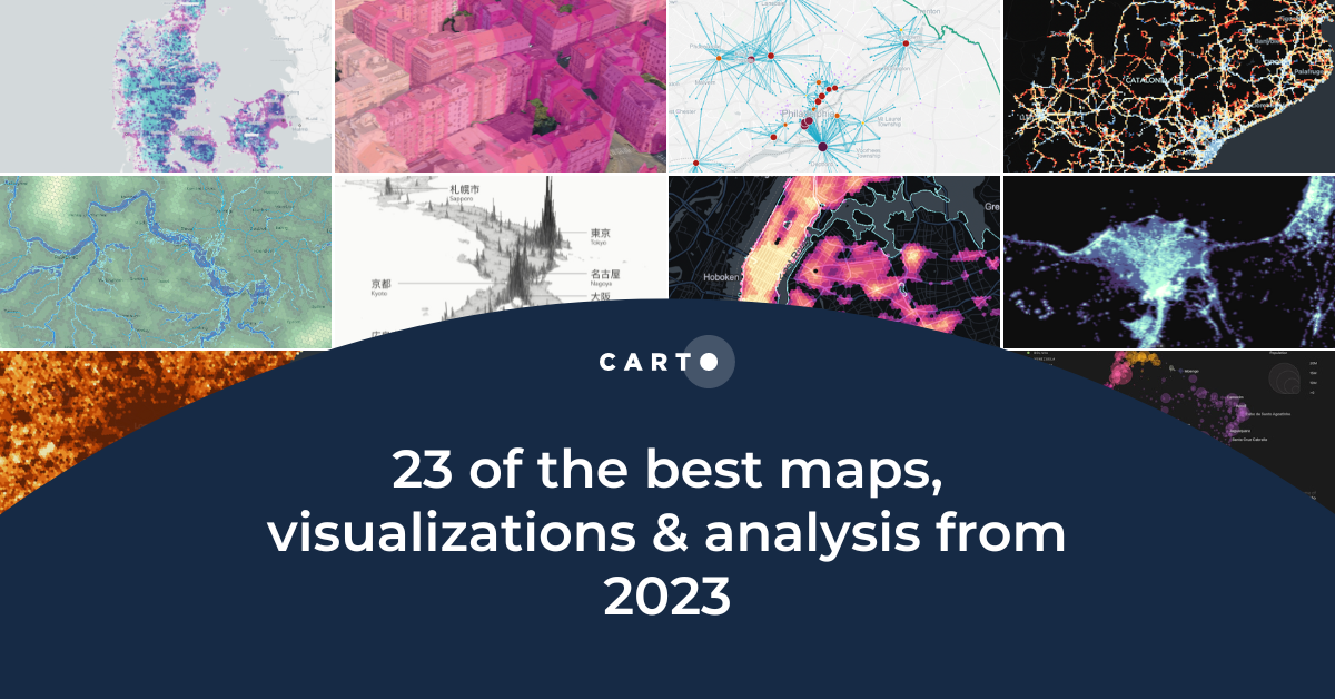
23 of the best maps, visualizations & analysis from 2023
Explore 23 of the best maps and visualizations of 2023. From advanced analytics to awesome visualizations with huge geospatial data.
.png)

Pie Charts: An Effective Data Visualization Tool?
A guide to creating Pie Charts for effective spatial Data Visualization & dashboards, including best practice and examples.

Modernizing spatial apps in the cloud with CARTO
Accelerate cloud native spatial app development with CARTO. Discover our APIs and developer frameworks, built for the modern geospatial data stack.

Dynamic Tiling: The key to highly performant cloud-native maps
Elevate cloud-native mapping of big data with CARTO's Dynamic Tiling. Seamlessly integrate interactive maps in your apps without compromising speed.
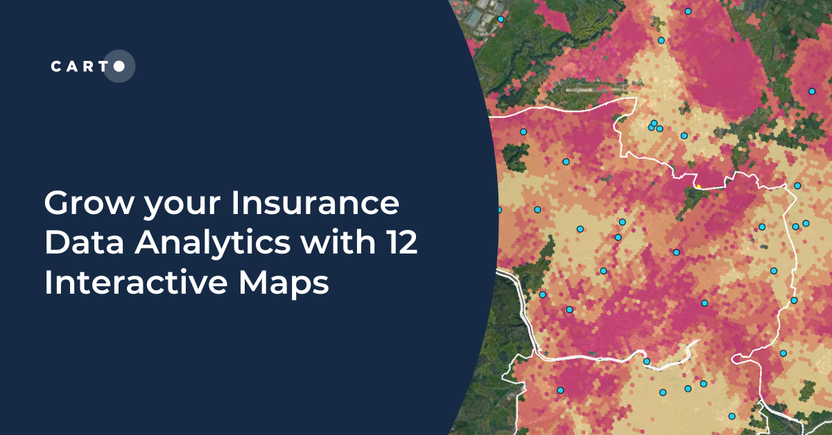

Grow your Insurance Data Analytics with 12 Interactive Maps
Grow your insurance data analytics with these 12 maps and visualizations. Request a demo now to optimize your risk assessment and decision-making processes.


Optimizing Site Selection for EV Charging Stations
Optimize EV Charging Site Selection with Spatial Data Science - improve accessibility and convenience, drive revenue, and de-risk growth.

%20Koronkowski.jpeg)
Boosting International CPG Market Share with Location Intelligence
Unlock Global CPG Growth with Location Intelligence! Overcome challenges, target the right markets, cater to preferences & boost revenue.
.png)
Improving Customer Experience in Telecoms with Geospatial
A guide to using geospatial to improve the Telecom customer experience, including network optimization, service personalization & targeted support.
.png)
How To Optimize Location Planning For Wind Turbines
Optimize wind farm locations with our guide on location planning for wind turbines. Explore criteria, spatial analysis, and use CARTO for a free trial.
.png)

Risk assessment solutions for Insurance - CARTO & g-Xperts
Learn how g-Xperts have worked with CARTO to develop a series of cloud-native geospatial applications, including an advanced risk exposure solution.


Academy
New CARTO Boundaries for faster visualizations in spatial apps
Announcing CARTO Boundaries for faster spatial app visualizations! Join data with pre-generated vector tilesets for efficient processing.
Build insights at scale with the new CARTO Spatial Features data
Announcing CARTO Spatial Features 3.0! Explore global human activity, night light intensity & telecom infrastructure spatial data.

5 things we’re excited for at SDSC London 2024
Discover the latest in Spatial Data Science at SDSC London 2024! From climate risk management to AI solutions - get your tickets now!