AI Agents for accelerated decision-making
Build AI Agents to unlock instant location insights for your entire organization, all within your cloud.


AI-Powered productivity
Automate geospatial workflows with your AI tools & agents. Multiply the impact of your experts and deliver instant insights for decision-makers.

Enterprise-grade governance
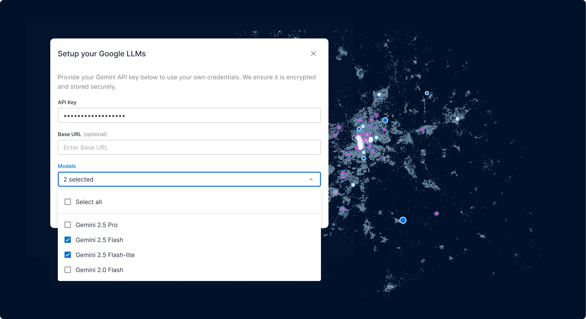
Leverage your own vetted AI models & end-points, with data never leaving your data warehouse.

Frictionless interoperability
Connect AI Agents to your entire tooling ecosystem, transforming disparate spatial data into comprehensive Location Intelligence.
Scale your spatial analysis with
Agentic GIS

Get inspired by our customers

With CARTO’s AI Agents, predictive growth insights move beyond data analysts and into the hands of every decision-maker. Now, anyone can ask our data questions like ‘Which neighborhoods will grow fastest?’ and get instant answers - speeding up site planning and providing a real competitive edge.




In a competitive telecom market, we can’t afford bottlenecks. CARTO’s AI Agents put instant insights into the hands of sales, operations, and expansion teams - helping us make smarter, faster decisions, while keeping all of our data secure in the cloud.


Our Actionable Data Initiative is all about improving healthcare delivery in underserved regions. AI Agents open up our analysis to doctors and researchers who are able to interact with healthcare and demographic data in natural language - turning complex geospatial analysis into insights that save lives.

A full agentic toolkit
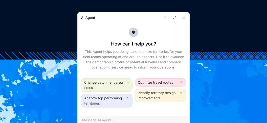
Many AI tools are simple add-ons, limited to basic tasks like styling maps. With CARTO, AI Agents can use both front-end and back-end tools to assist across the whole analysis process.
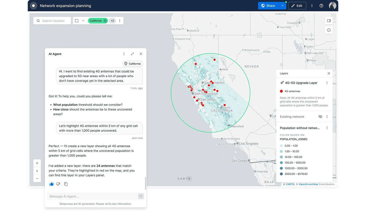
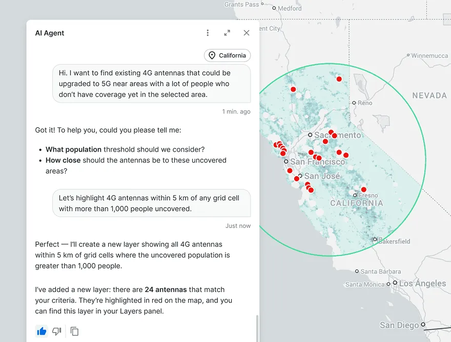
Enterprise-grade spatial analysis
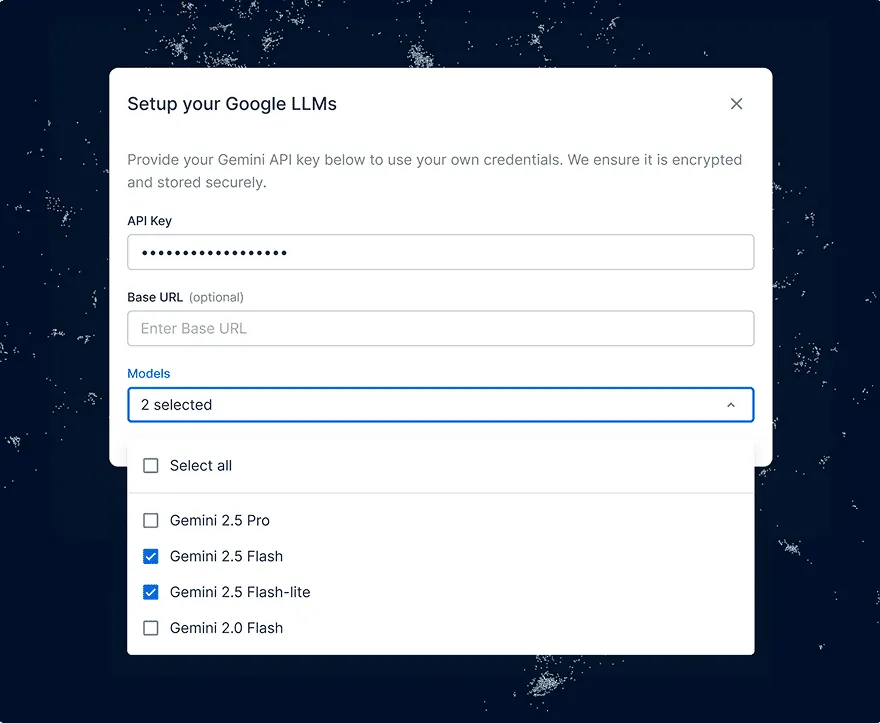
Using platform-specific AI providers causes governance headaches and requires data movement. CARTO lets you use your own vetted LLMs, end-points and execute tools inside your data warehouse.
Interoperability & connectivity
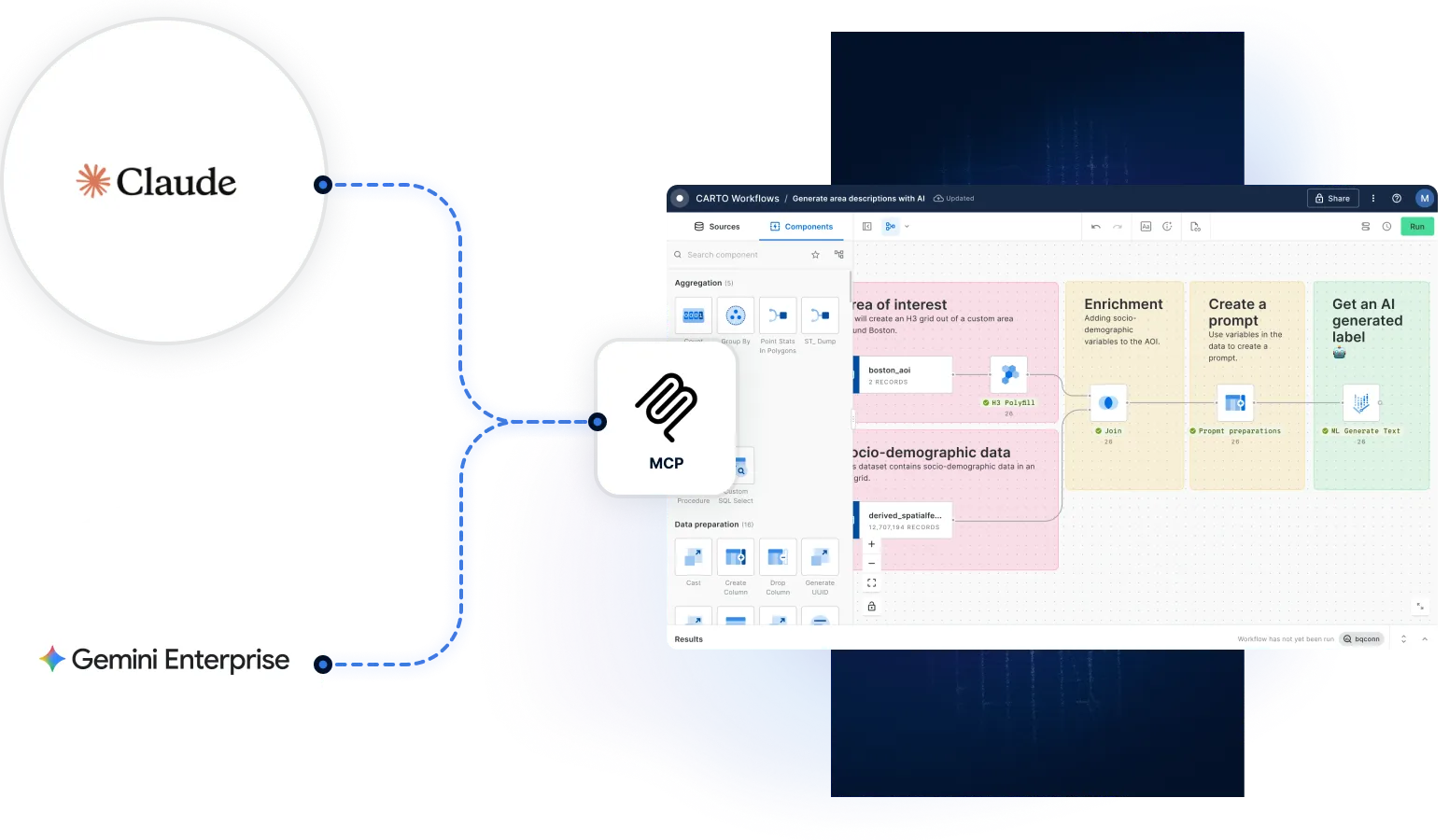
Other GIS tools lack true connectivity to your existing ecosystem. CARTO allows you to build MCP tools that can be deployed from external platforms like Claude or Copilot, as well as build CARTO AI Agents directly from those tools, for full enterprise integration. Explore CARTO for Agents.
Frequently asked questions
CARTO's platform is purpose-built to enable analysts to build and deploy their own AI Agents. These agents can be tailored to automate complex, repeatable workflows, which can then be made accessible to a broader audience across your organization.
CARTO's AI Agents can perform a wide range of tasks to help your users extract insights from location data. These range from map and data interactivity - such as adding, styling and removing data layers - to more complex tasks like triggering a query or a tool like CARTO Workflows. All of this is stipulated by the analyst who has created by the Builder, giving them ultimate control over how the Agent can be used.
Yes. Our platform allows you to deploy your tools as Model Context Protocol (MCP) tools that you can seamlessly connect to with external platforms like Claude or Agentspace. This allows you to leverage CARTO's geospatial capabilities from within your existing tooling ecosystem.
Yes. With CARTO for Agents, you can use Claude, ChatGPT, Microsoft Copilot, or another connected agentic platform to create and configure a CARTO AI Agent directly on your map, no manual setup in Builder required.
CARTO AI Agents are conversational agents you build inside a Builder map or application, for exploring that map's data, operating related tools, running analysis—and more. CARTO for Agents is the reverse: it lets Claude, ChatGPT, Copilot, and other agentic platforms operate CARTO itself, building maps, running Workflows, and querying your warehouse from wherever your team already works. You can even use CARTO for Agents to create an AI Agent in CARTO!
Absolutely. By operating natively within your cloud data warehouse, CARTO guarantees your spatial data never leaves your governed environment. Our platform is model-agnostic; you can use your own vetted LLMs & end-points, ensuring you operate securely within your inherited cloud security frameworks.
Related content