
Enrich Spatial Analysis with Landgrid's Nationwide Parcel Data
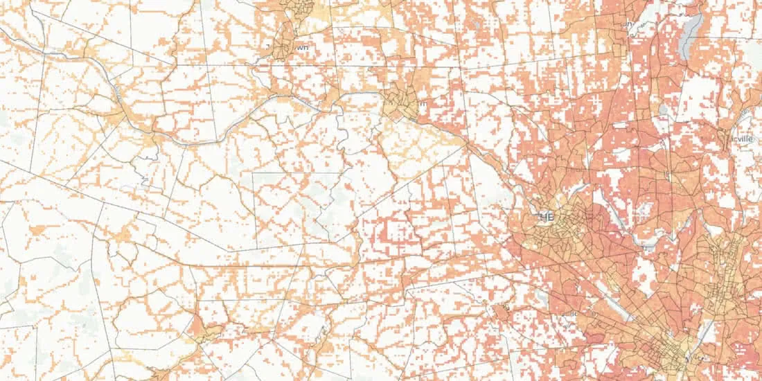
Landgrid brings their nationwide parcel data, which Boasts over 143 million land parcels across 2,800 counties, to the CARTO Data Observatory
Spatial DataLandgrid brings their nationwide parcel data, which Boasts over 143 million land parcels across 2,800 counties, to the CARTO Data Observatory
Spatial Data