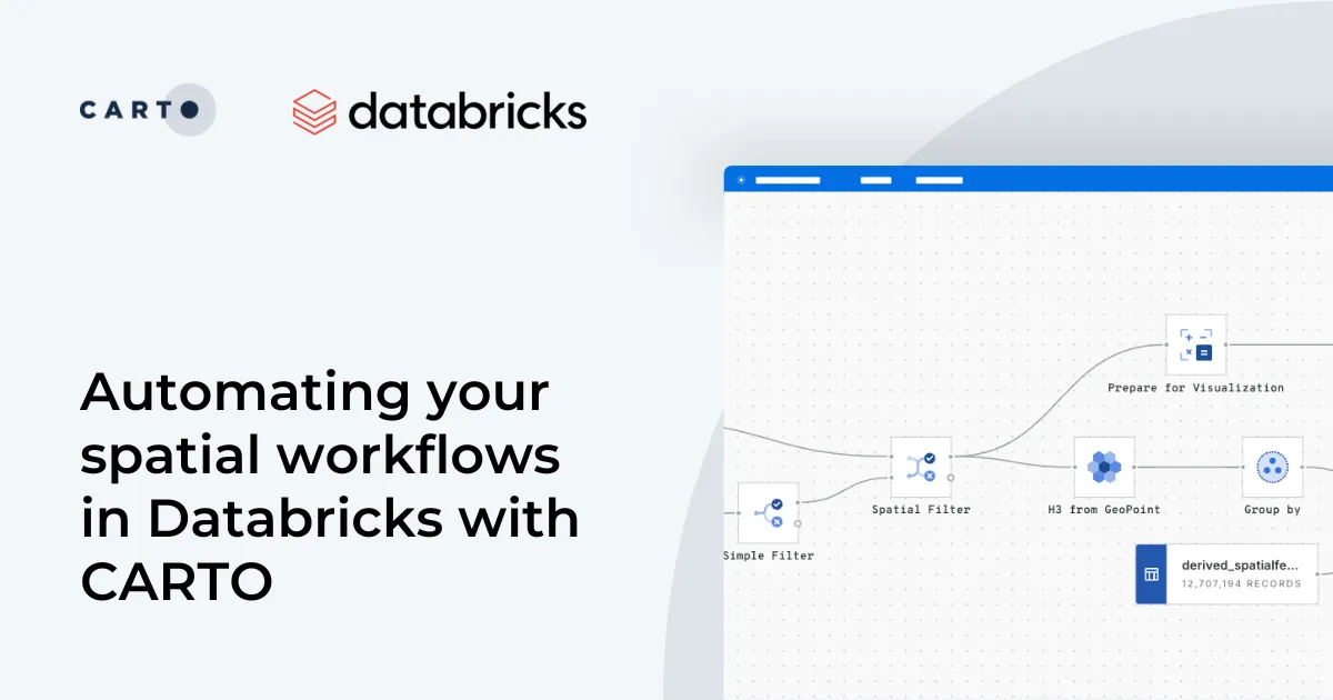
Automate your geospatial workflows in Databricks with CARTO. Schedule, trigger, and integrate spatial data processes seamlessly using Databricks Workflows.
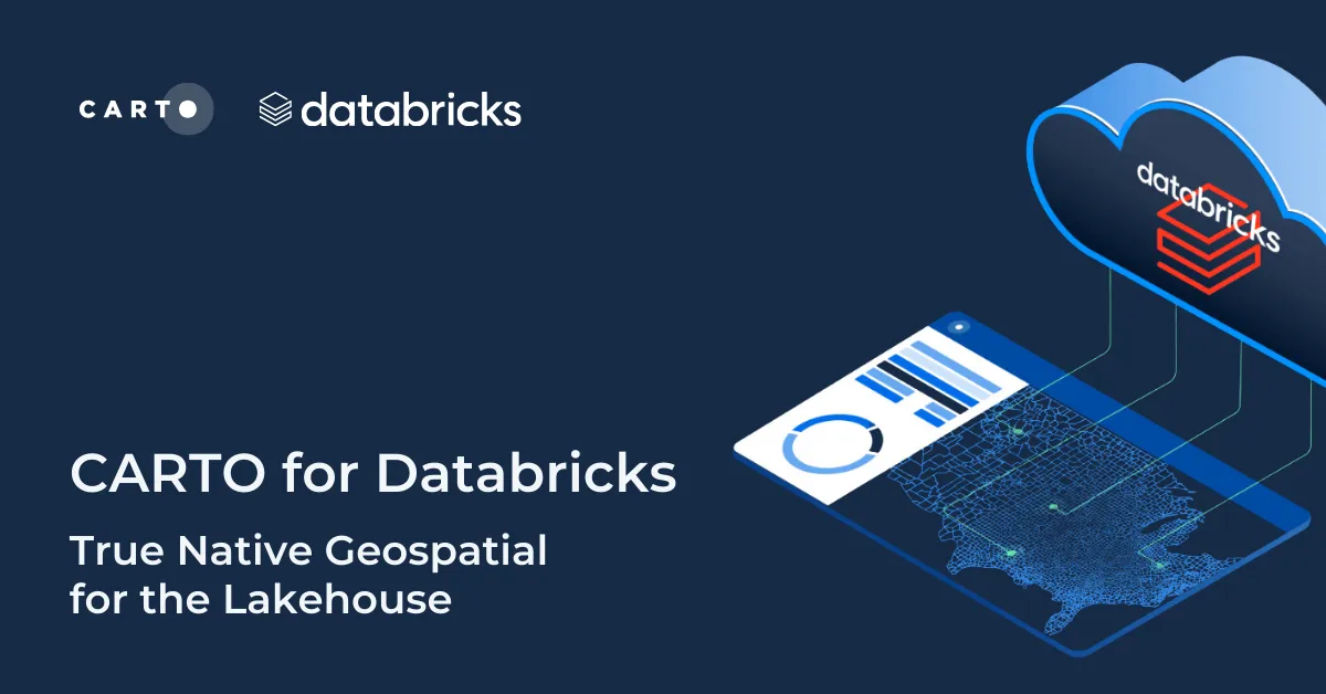
Discover CARTO's integration with Databricks, empowering users with native geospatial analytics for enhanced Location Intelligence and streamlined workflows in the Lakehouse.
Find out what our team members created during recent CARTO VL hackathon and learn why new feature advancements can provide better user experience for your location intelligence apps.
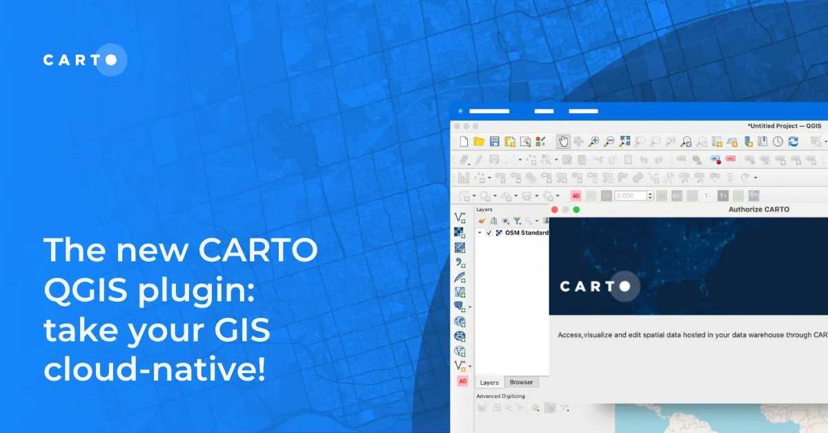
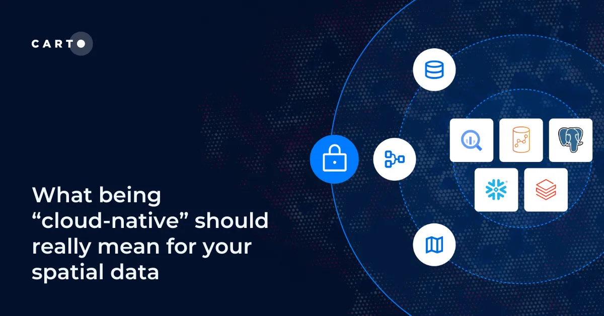
What does it mean to be truly cloud-native? Enhance security, eliminate data silos & redundancy, and revolutionize your geospatial workflows with CARTO.