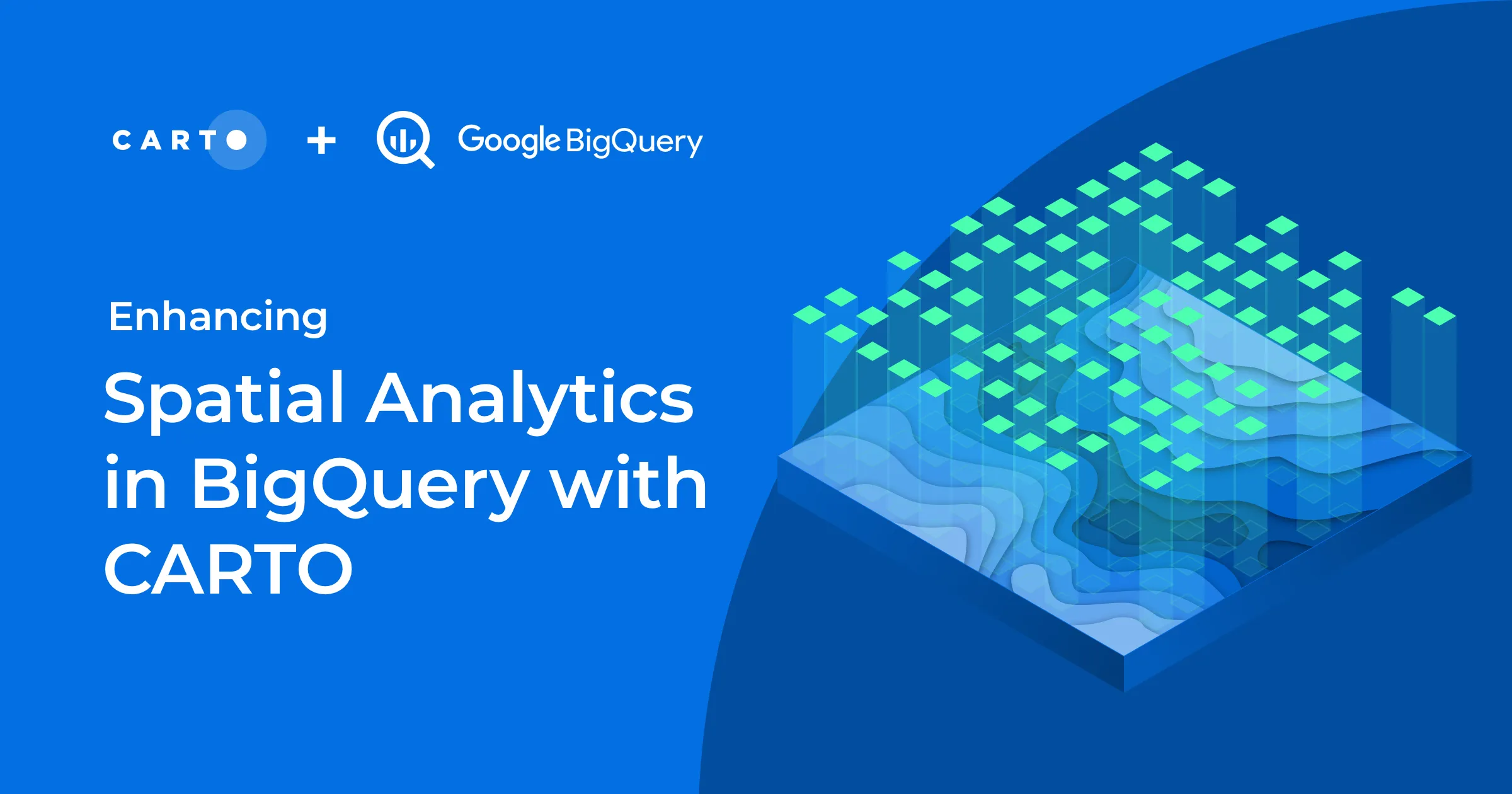
Today we announced at Google Cloud Next the General Availability of the new CARTO's Spatial Analytics in BigQuery. Learn more about the most innovative platform to perform spatial analytics natively in the cloud.
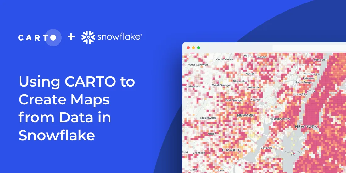
As part of our commitment to enabling geospatial analysis natively within the cloud, today we announce the launch of our Spatial Analytics on Snowflake with CARTO!
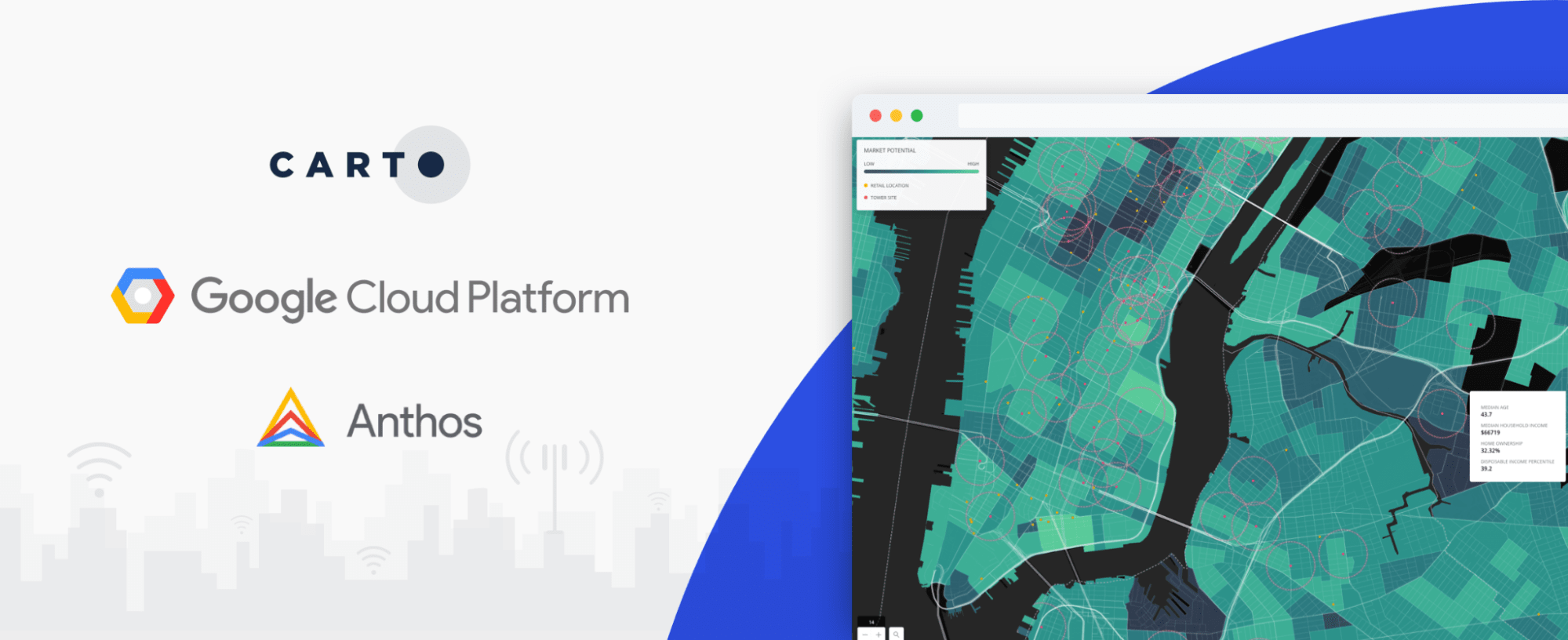
As part of Google Cloud’s initiative to bring partner solutions to the network edge, we’re delighted to announce CARTO has been listed as a strategic partner.
We are excited to introduce the CARTO Spatial Analytics in BigQuery, a suite of functions & procedures to perform spatial analysis natively within the Google BigQuery environment using SQL
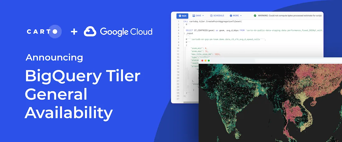
We are excited to announce the general availability of CARTO BigQuery Tiler, a unique solution for visualizing massive spatial datasets hosted in Google BigQuery
Import millions of records from a Snowflake database using our new connector & create insightful visualizations. How to combine Snowflake data warehouse & CARTO
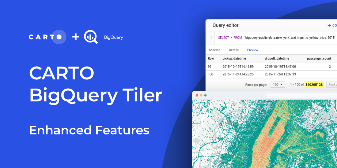
Read about new features to CARTO BigQuery Tiler: the fastest, most convenient, & cost effective way to visualize spatial Big Data & generate Tilesets for the web
Learn more about our integration with Placekey, enabling universal standard identifiers for any physical place to be used with spatial analysis & visualization.
Snowflake users can now easily import large spatial datasets from the cloud into CARTO, becoming the first Location Intelligence platform with native support.