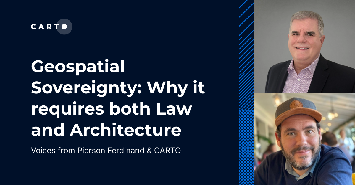
Core Tech
CARTO MCP Server: turn your AI Agents into geospatial experts
Discover how the CARTO MCP Server lets enterprises connect AI agents like ChatGPT & Gemini to geospatial data and workflows via MCP.


CARTO MCP Server: turn your AI Agents into geospatial experts
Discover how the CARTO MCP Server lets enterprises connect AI agents like ChatGPT & Gemini to geospatial data and workflows via MCP.


Integrate analysis workflows in your cloud native apps with CARTO
Seamlessly spatial analysis into cloud-native apps; trigger workflows via API, parameterize processes & seamlessly integrate them into spatial apps.


Dynamic Tiling: The key to highly performant cloud-native maps
Elevate cloud-native mapping of big data with CARTO's Dynamic Tiling. Seamlessly integrate interactive maps in your apps without compromising speed.
Upgrades improve CARTO platform performance by > 20%
Following several upgrades to the CARTO platform we are pleased to announce significant performance & security improvements.
Integrate CARTO & QGIS Using the New Direct SQL Connection
Integrating CARTO & QGIS through the Direct SQL Connection: access CARTO's database from QGIS using a regular PostGIS connection.
Introducing Direct SQL Connection for QGIS, Databricks & more
Connect to CARTO from other GIS or BI tools & database clients: bring your CARTO data to other tools you already use.
10,000 Dutch Bridges: A Foray into Using BigQuery Connector
Explore how to use our Google BigQuery connector to import large public datasets for geospatial analysis.
Inside CARTO Engineering: Configuration Management Makeover
In order to achieve our plan of being the leading location intelligence platform, we continually invest in our infrastructure to provide the best service to our client. Today we are telling a success story about how we revamped our configuration management system
Upgrading our Core Platform to PostgreSQL 11
In order to meet our users' increasing performance needs, during the following weeks we will be upgrading our software stack to be based on PostgreSQL 11 and PostGIS 2.5.
Airship 2.0 is here
Explore features, Histogram widget enhancements, Time Series widget, and seamless CARTO VL integration. Elevate your Location Intelligence with Airship 2.0.
Academy
Unlock planetary-scale insights with CARTO & Google Earth AI
Learn how CARTO & Google Earth AI make planetary-scale insights accessible with foundation models & Agentic GIS.
AI & the Future of Geospatial: Highlights from #SDSC25
AI and Agentic GIS are revolutionizing spatial analytics. Discover innovations, insights, and trends shaping the future from #SDSC25 New York.
How to build a geospatial AI roadmap (that actually works)
Only 1 in 4 AI projects deliver ROI. Discover a proven 5-step roadmap for scaling geospatial AI - govern data, automate workflows, and unlock Agentic GIS value.

.png)


