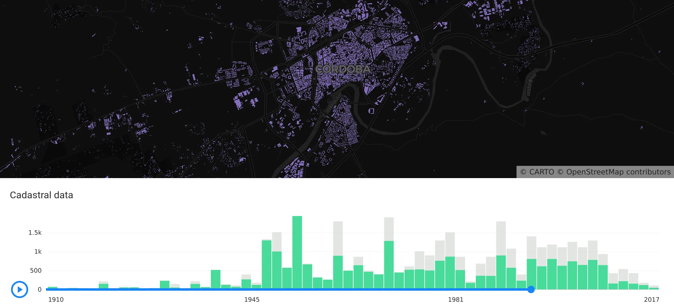
Geospatial sovereignty in the AI era: why open formats, flexible compute, and interoperable standards are key to resilient, independent digital infrastructure.
In order to achieve our plan of being the leading location intelligence platform, we continually invest in our infrastructure to provide the best service to our client. Today we are telling a success story about how we revamped our configuration management system
In order to meet our users' increasing performance needs, during the following weeks we will be upgrading our software stack to be based on PostgreSQL 11 and PostGIS 2.5.
Explore features, Histogram widget enhancements, Time Series widget, and seamless CARTO VL integration. Elevate your Location Intelligence with Airship 2.0.
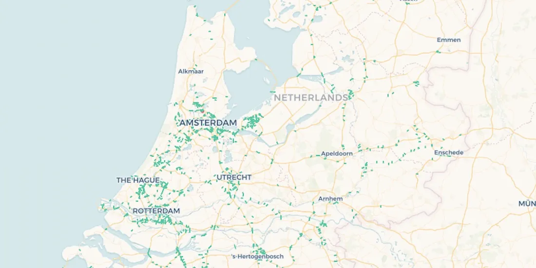
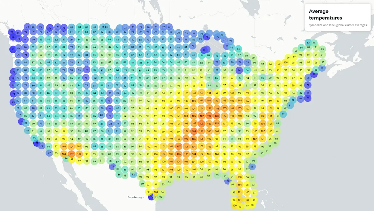
New feature: cluster labels View this example CARTO VL aggregation functions provide a variety of methods to extract different values from your datasets.