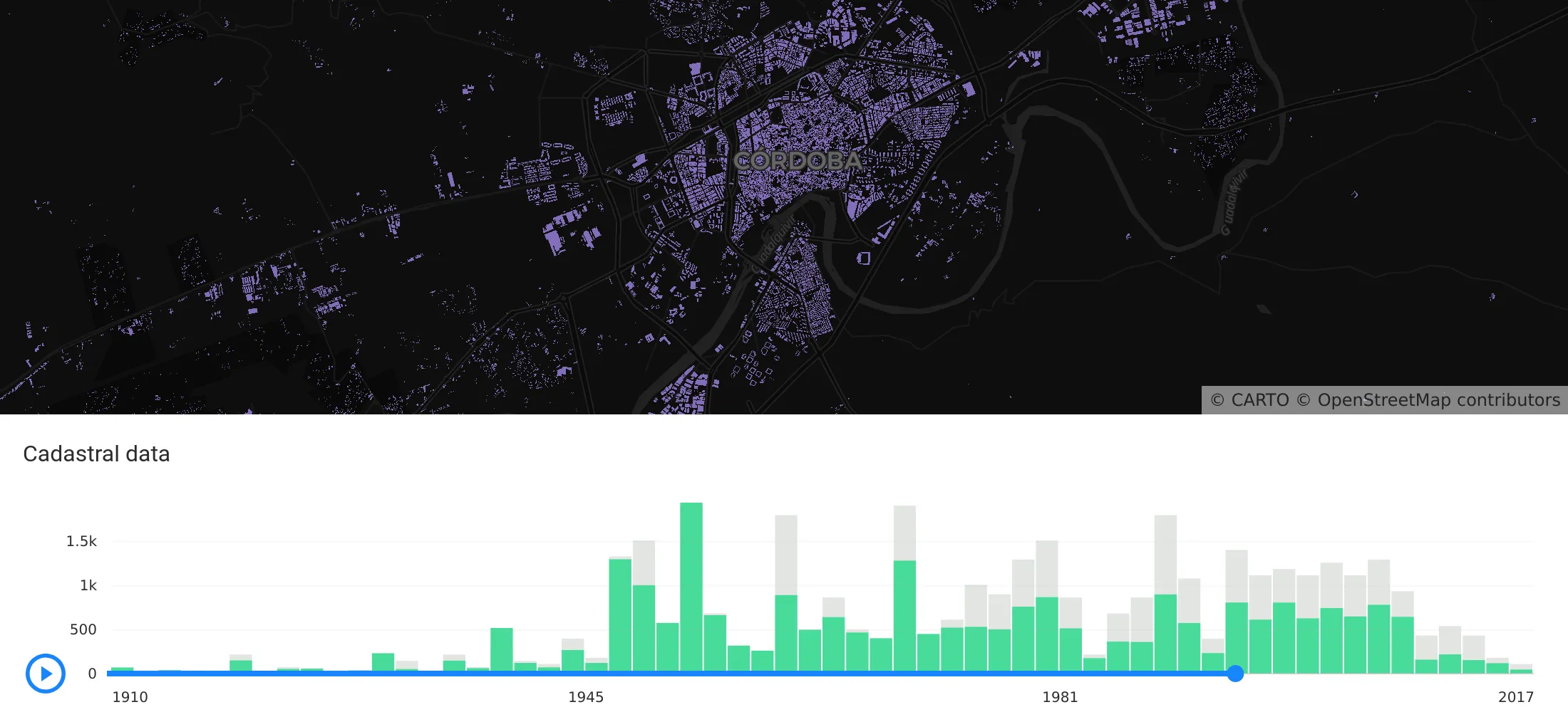
Explore features, Histogram widget enhancements, Time Series widget, and seamless CARTO VL integration. Elevate your Location Intelligence with Airship 2.0.
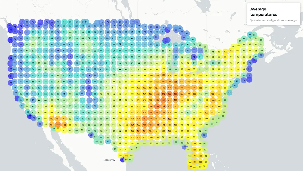
New feature: cluster labels View this example CARTO VL aggregation functions provide a variety of methods to extract different values from your datasets.
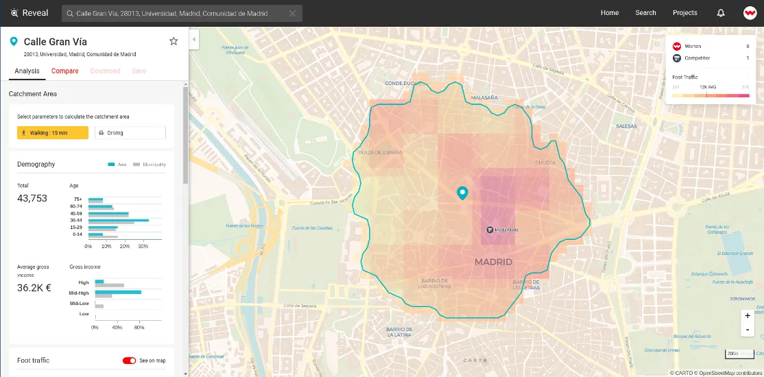
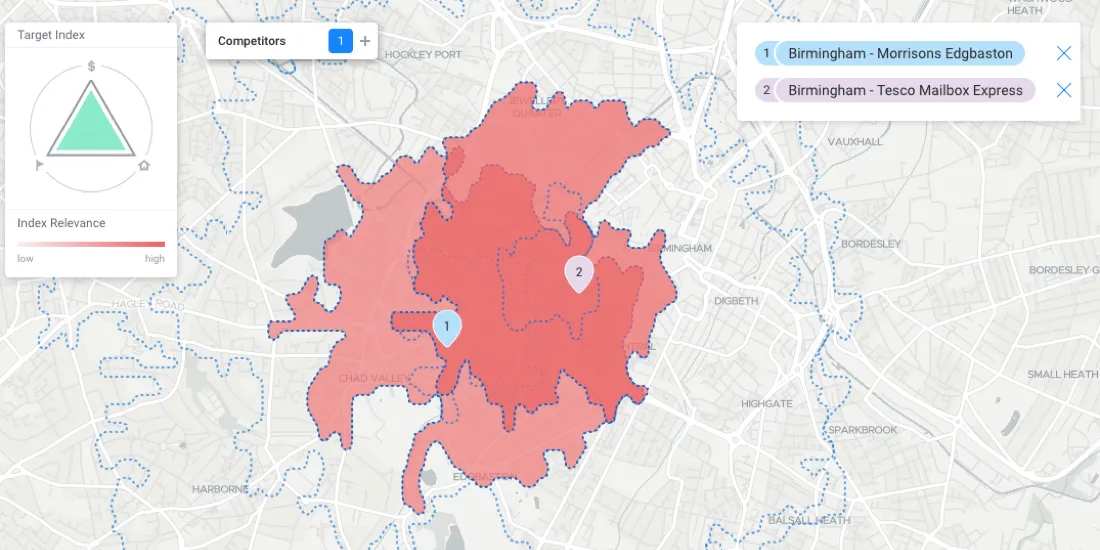
Today we announce the latest release of our Reveal solution an application for Retailers and Real Estate firms to drive smarter location decisions for.
Six months after the beta, CARTO officially launches CARTO VL a JavaScript library for vector-based visualization and analytics in Location Intelligence applications
Integrating modern derivative datasets to work alongside existing customer data, and analyzing it all using geospatial analytics will paint a far clearer picture of site health at all scales.