A practical checklist of the features to look for when choosing a GIS platform, from deployment model and data integration to scale, AI, security, and cost.
Big data is more than volume. Learn what big data really means, why 80% of it has a spatial component, and how cloud-native spatial analysis turns it into decisions.
Compare cloud, desktop, and open source GIS platforms. Find the best spatial analytics software for your team, from CARTO to Esri, QGIS, Felt, and more.
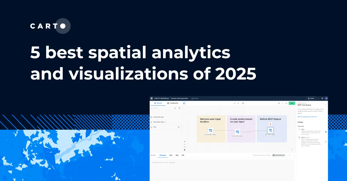
Discover the best spatial analytics of 2025. Learn how industry leaders use CARTO to analyze historical risk, manage real-time operations, and plan for growth.
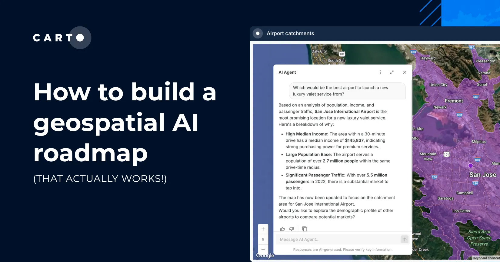
Only 1 in 4 AI projects deliver ROI. Discover a proven 5-step roadmap for scaling geospatial AI - govern data, automate workflows & unlock Agentic GIS value.