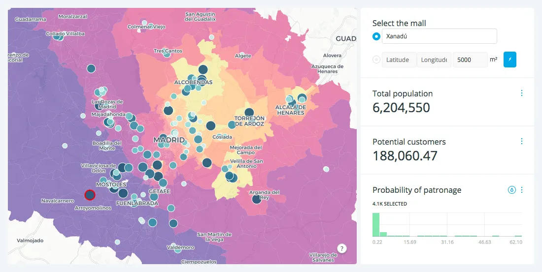
A spatial interaction model is specifically used to map and model the interactivity between various factors in distinct locations. This makes it extremely useful to understanding any data you might have with more than one location component.
For traffic engineers and analysts looking to tackle major challenges, such as reducing the number of car crashes in their city, new data streams and spatial data science are critical
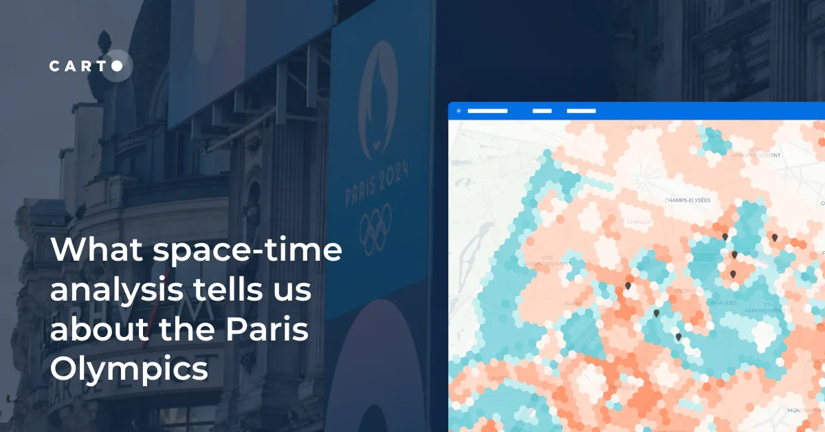
Explore space-time analytics through the 2024 Paris Olympics! Discover insights from human mobility data & learn how to leverage spatial analysis tools.
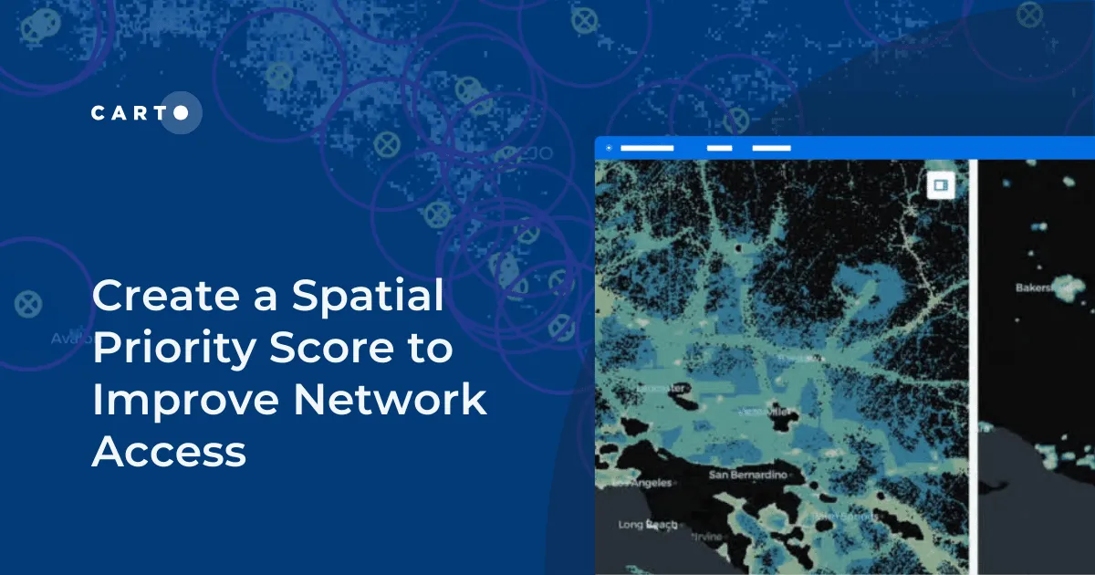
Learn how to create a spatial priority score to improve network access for senior citizens. Explore data integration, regression models, and AI insights.
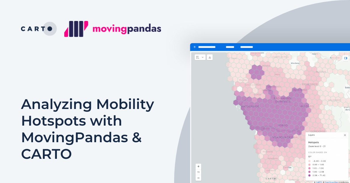
Explore mobility hotspots with MovingPandas and CARTO. Tutorial on transforming trajectory data into space-time hotspots for intelligent decision-making.