Learn how to execute bulk "nearest neighbor" queries using CartoDB for geographical analysis. Create maps depicting parcel distances from fire hydrants efficiently.
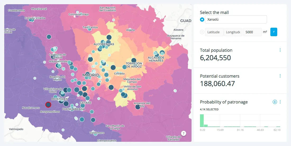
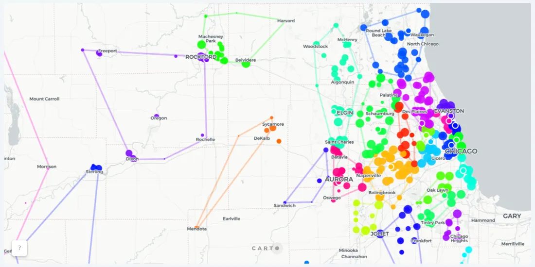
A spatial interaction model is specifically used to map and model the interactivity between various factors in distinct locations. This makes it extremely useful to understanding any data you might have with more than one location component.
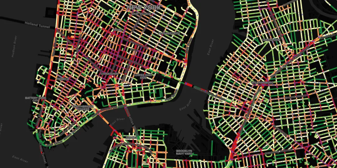
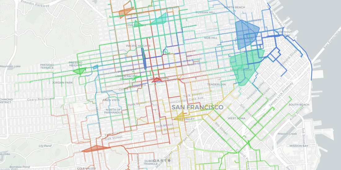
For traffic engineers and analysts looking to tackle major challenges, such as reducing the number of car crashes in their city, new data streams and spatial data science are critical