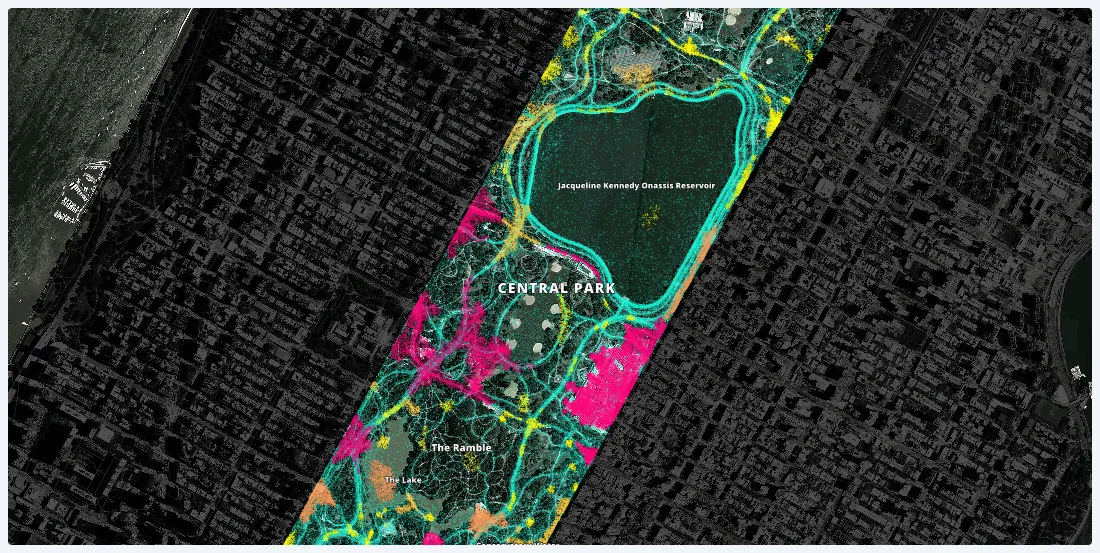
Working with one month of nation-wide GPS data, A Million Walks in the Park explores the use of public spaces, specifically public parks across New York City, to understand social interactions among New Yorkers.
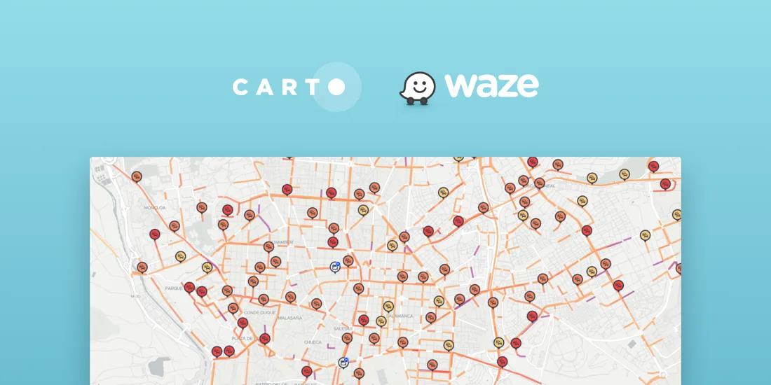
CARTO Traffico is a traffic management solution for civic engineers and urban planners that integrates crowdsourced GPS data with city specific mobility data sources to help cities adapt to citizens’ changing transportation behavior
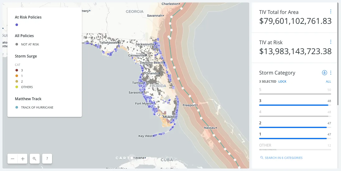
Embracing Location Intelligence can help insurers to reduce their exposure to risk, while preparing and offering policyholders better service and more varied plans that meet their needs.
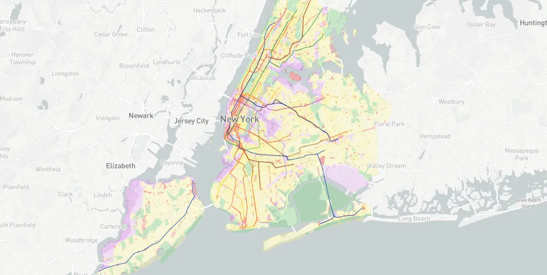
From identifying new areas for potential investment to better understanding real estate investment risks, we look at some of the ways location data can support your investment strategy.
Implementing data-driven decision making can only show a return on investment for businesses if analysts ask the right questions with the right data. Here are the right questions to ask.