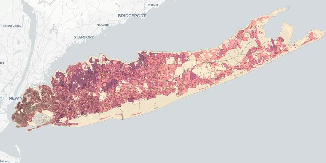
We’re introducing Data Observatory 2.0, the latest version of our spatial data repository that will make spatial data more accessible and faster to manipulate for Data Scientists and Analysts across the globe.
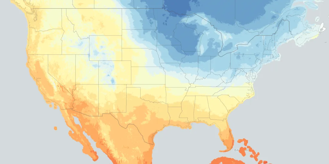
From meeting fluctuating customer demands and scheduling services, to proactively optimizing workflows to minimize risks in case of extreme events, weather-related data represents a huge asset
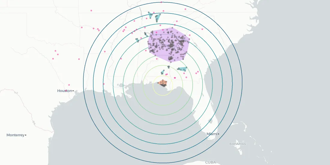
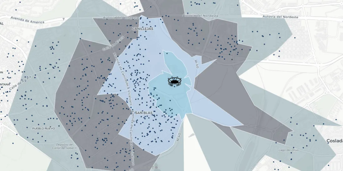
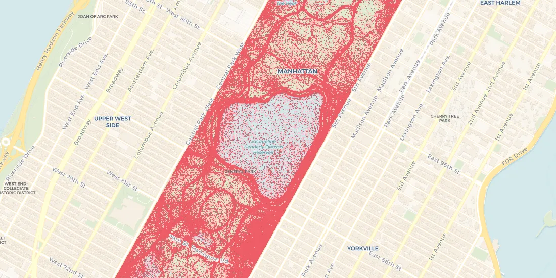
Bringing together different location data streams provides a modern alternative to traditional traffic impact studies. In this post we’ll present what value different types of location data add to mobility analysis.
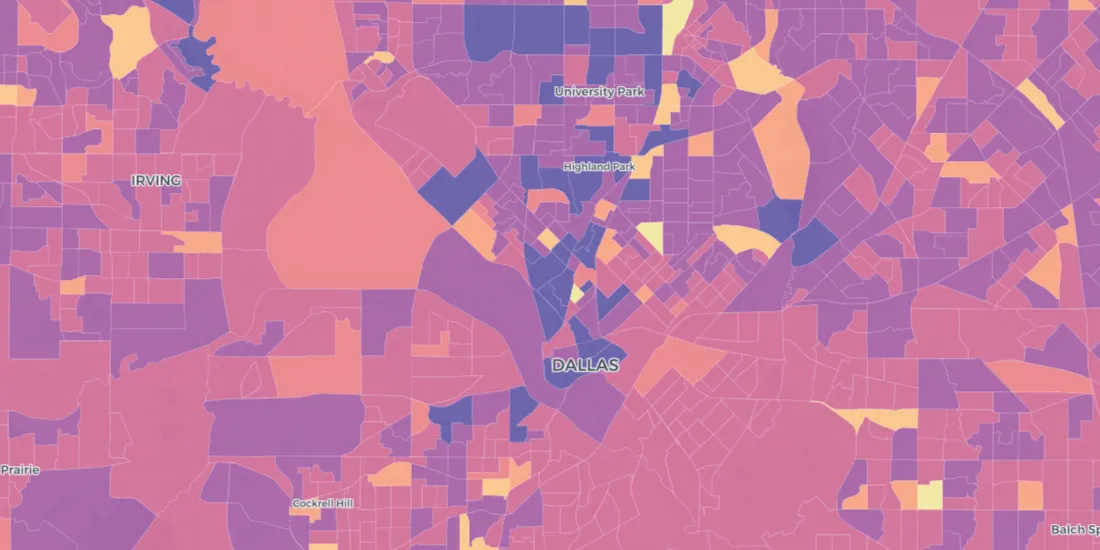
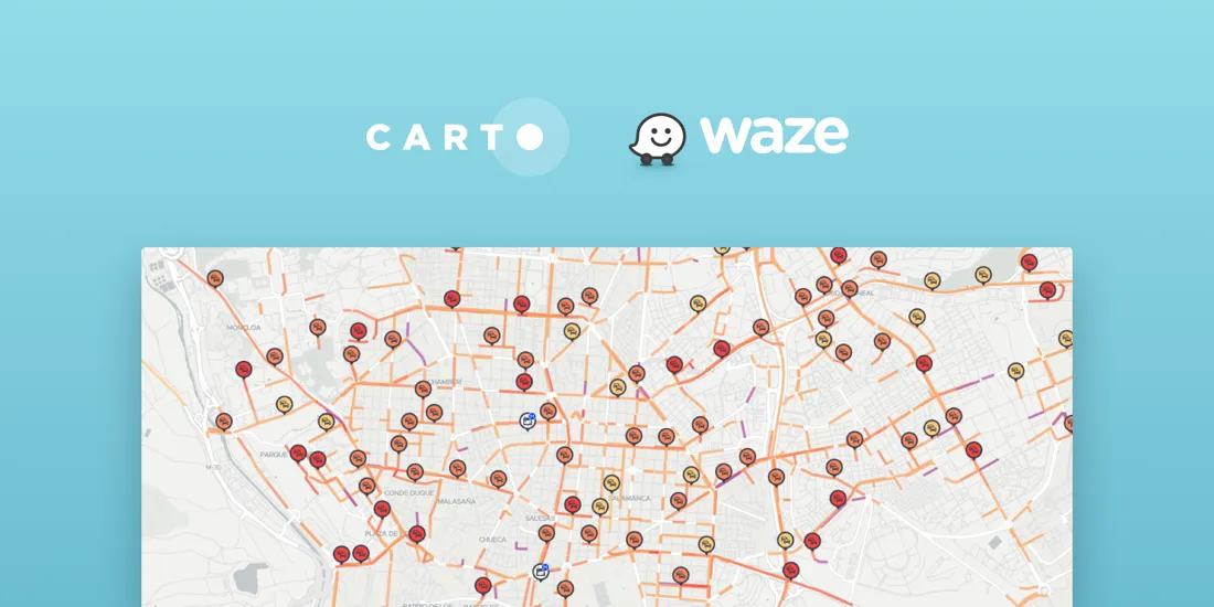
CARTO Traffico is a traffic management solution for civic engineers and urban planners that integrates crowdsourced GPS data with city specific mobility data sources to help cities adapt to citizens’ changing transportation behavior