Index, or Z Scores, have often been used in geospatial analytics to identify hotspots & rank locations. Discover how to visualize them using Google BigQuery.
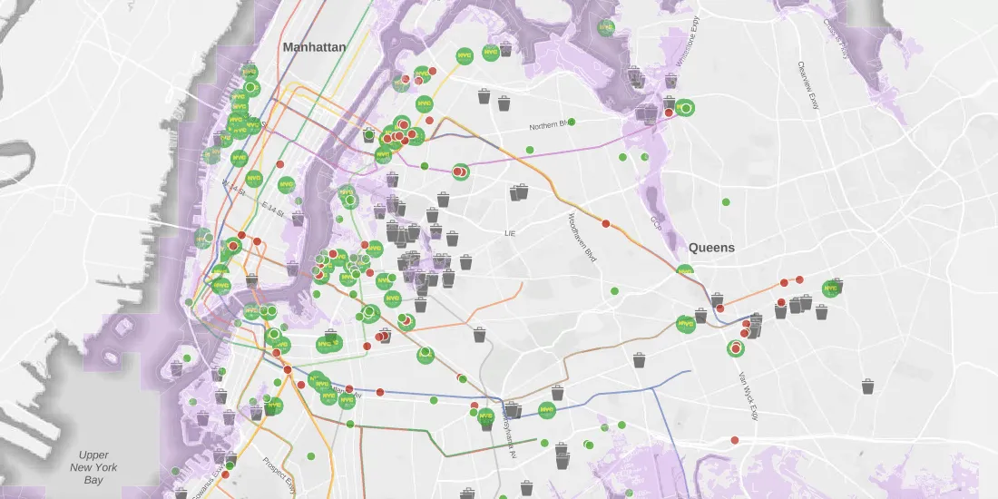
Learn about SPEED 2.0, a collection of spatial datasets wrapped into one app for the purpose of helping individuals identify environmental issues in New York City
Hand washing is key in the fight against COVID-19 but in Brazil water access can be an issue. Discover how Location Intelligence can be used to analyze the impact.
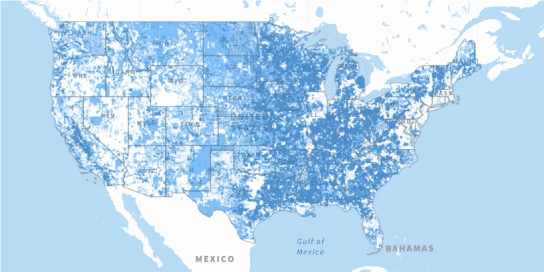
The Connect America Fund aims to close the digital divide between rural & urban America. Learn more about it's impact with a newly updated map from the USAC.
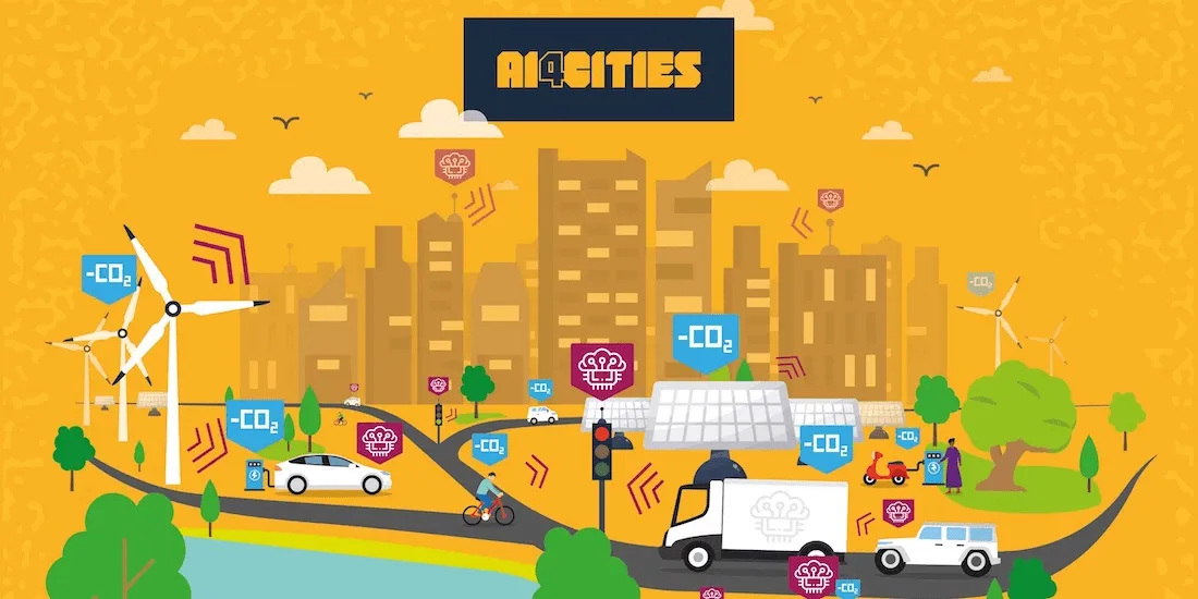
We are pleased to announce that we have been selected to participant in AI4Cities, a project to help cities accelerate their transition towards carbon neutrality
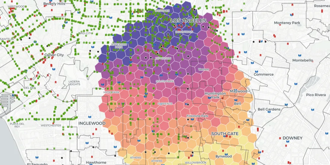
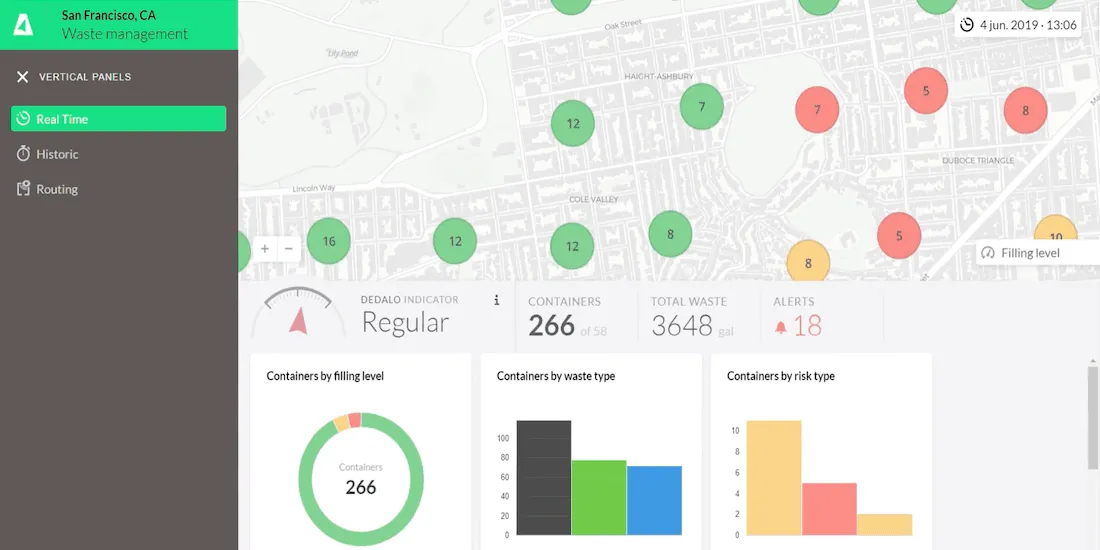
The pandemic has significantly affected waste management in our cities - read how Location Intelligence can be used to optimize collection & reduce costs.
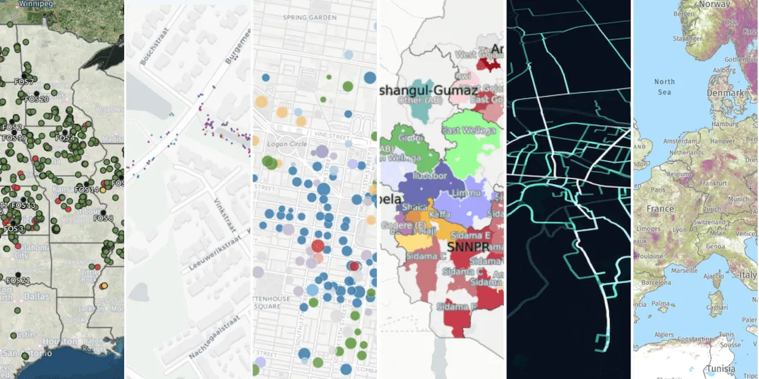
How can Location Intelligence be used for Sustainability? Discover some examples including sustainability for agriculture, environment, mobility, cities, & more