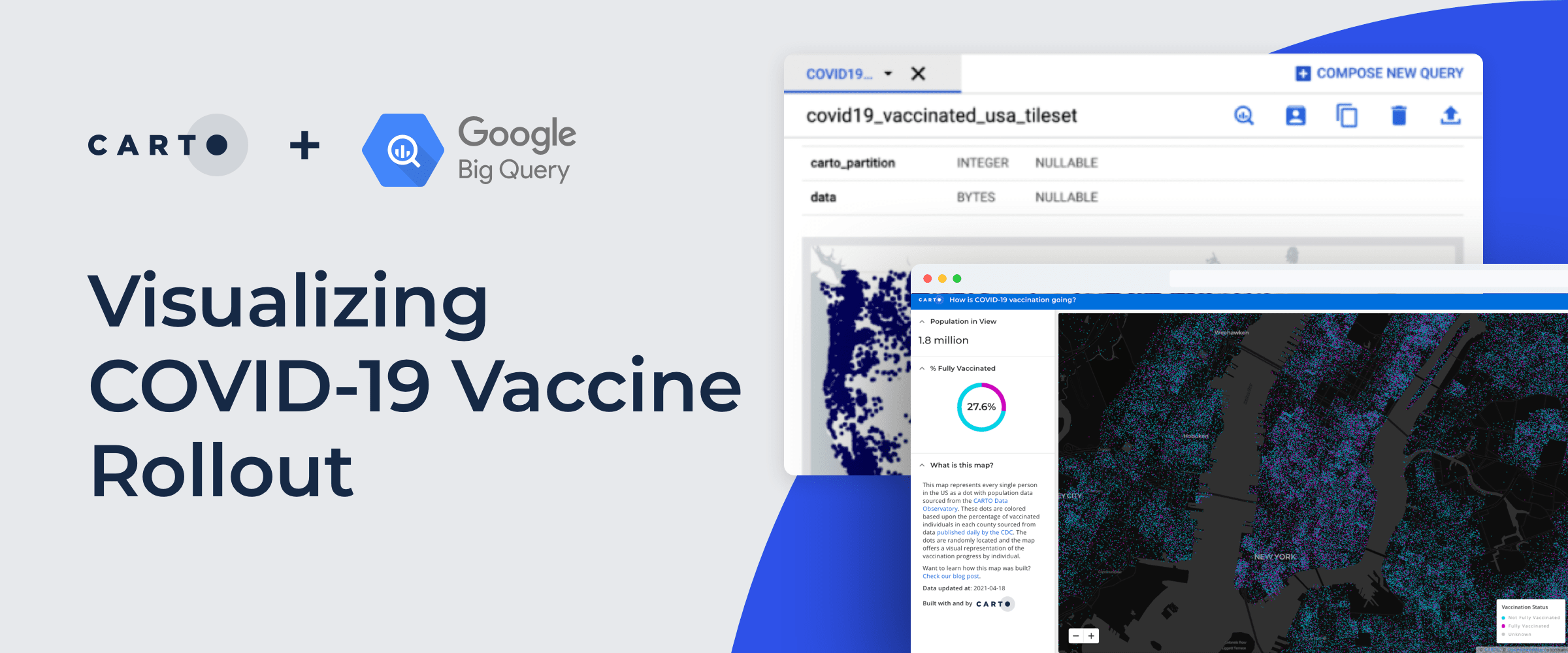
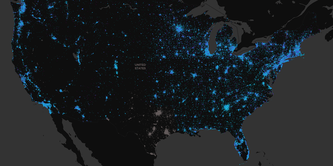
Recently we published a map to track the COVID-19 vaccination rollout in the US–learn how this Cloud Native Spatial App was developed using CARTO & Google Cloud
How is vaccination progressing in the US at an individual level? Find out using our interactive COVID vaccination tracker app visualizing every person in the US
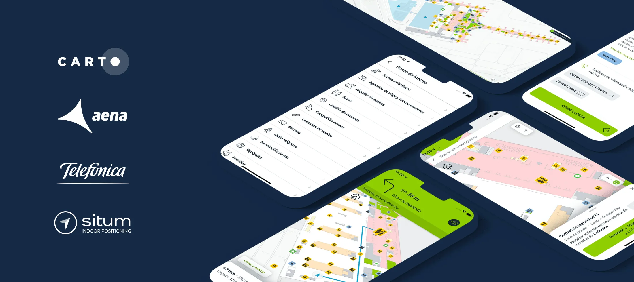
AenaMaps, a solution developed by CARTO, Telefónica, & Situm, leveraging indoor mapping to provide navigation within Aena's airports expands to Barcelona
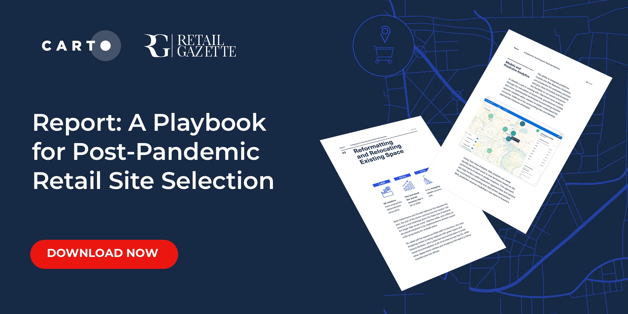
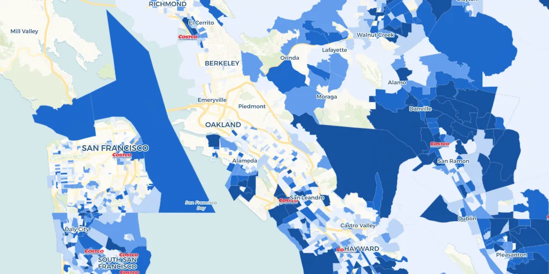
Download our new report on site selection strategies & how location data & advanced spatial analysis can help retailers adapt & thrive in a post pandemic world
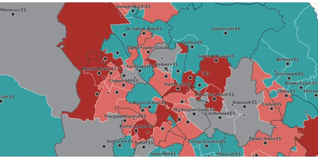
Read how WXY, an architecture, urban design, & planning firm, built an interactive school district dashboard for Montgomery county using the CARTO platform
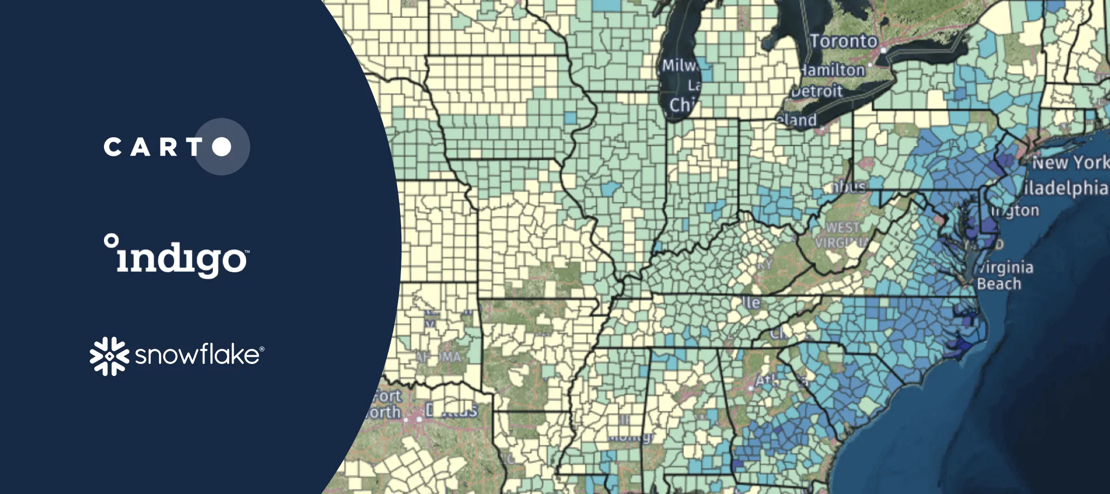
Discover how to scale your analytical workflow & access massive geospatial datasets with Google Cloud & CARTO & the general availability of BigQuery Tiler
As COVID vaccines become more widely available we look maps analyzing the rollout & supply chain optimization for an efficient & equitable immunization strategy
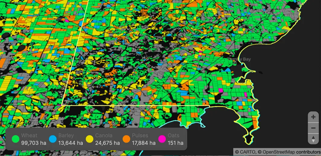
Read how our partner NGIS built a spatial web application, CroppingHub, to detect crop types & predict crop yield using cloud computing & machine learning