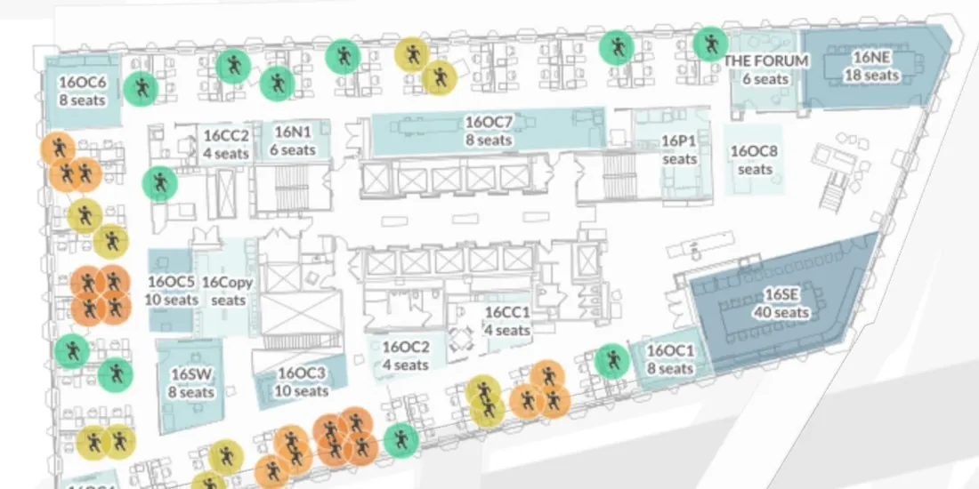
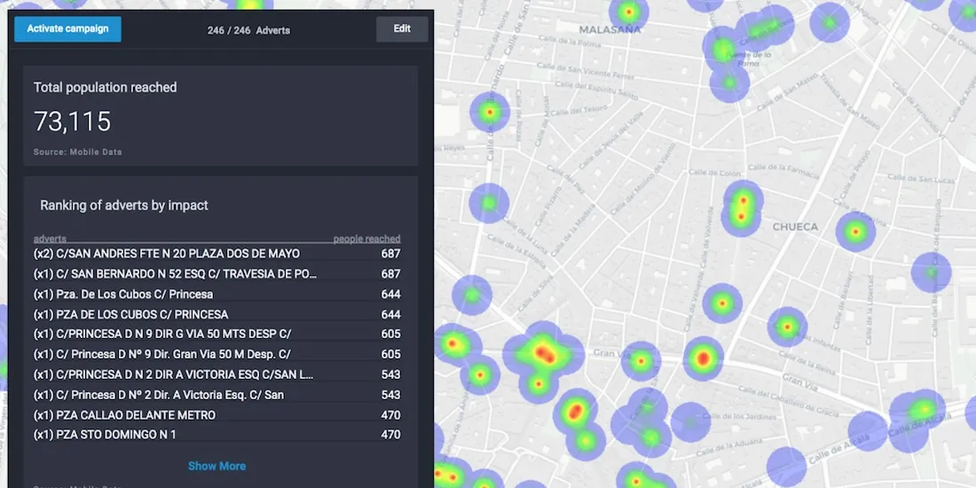
We explore how GIS Indoor Mapping Software can help organizations on their return to work, ensuring best practice in social distancing & contact tracing.
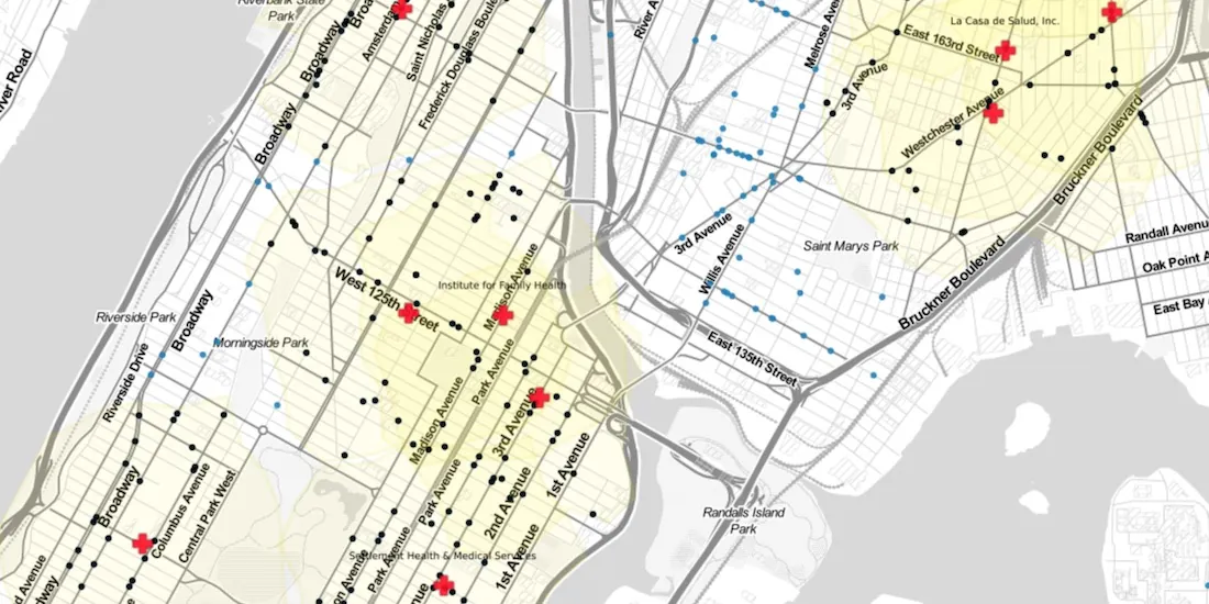
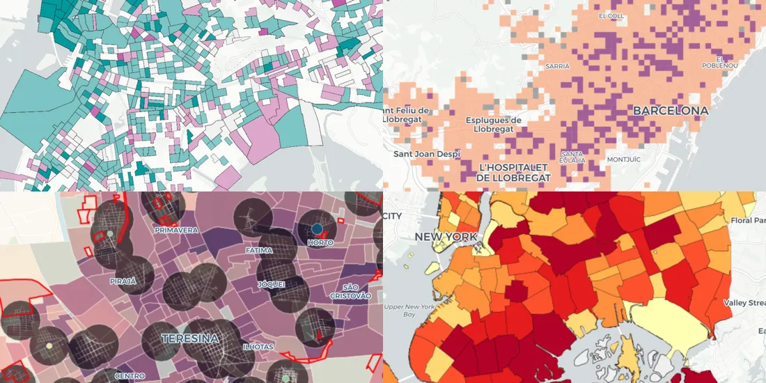
Read how the Center on Rural Innovation & others used CARTO to determine which rural communities in the US are in need of greater support against COVID-19.
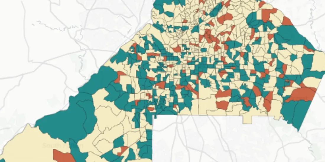
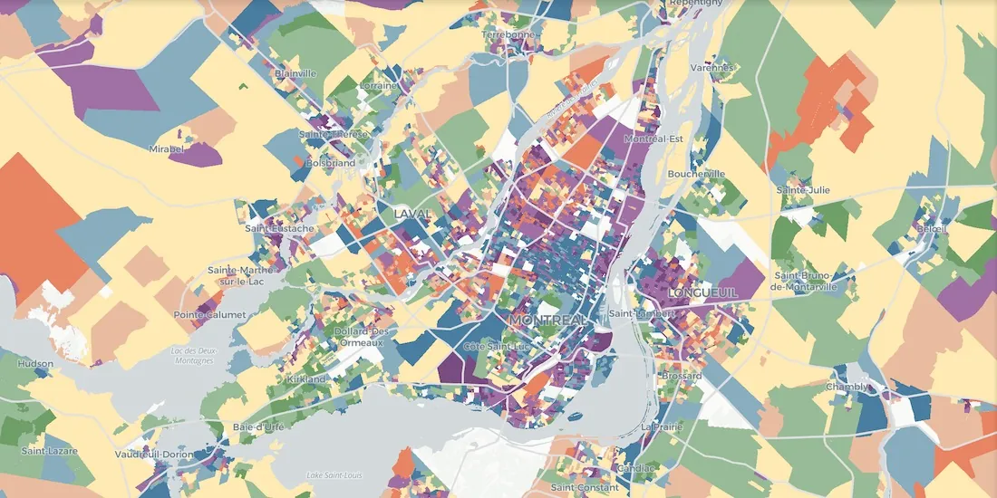
Everyone has the same question: when will we return to normal? Spatial analysis has helped immensely to contain the spread, now how will it help us recover?
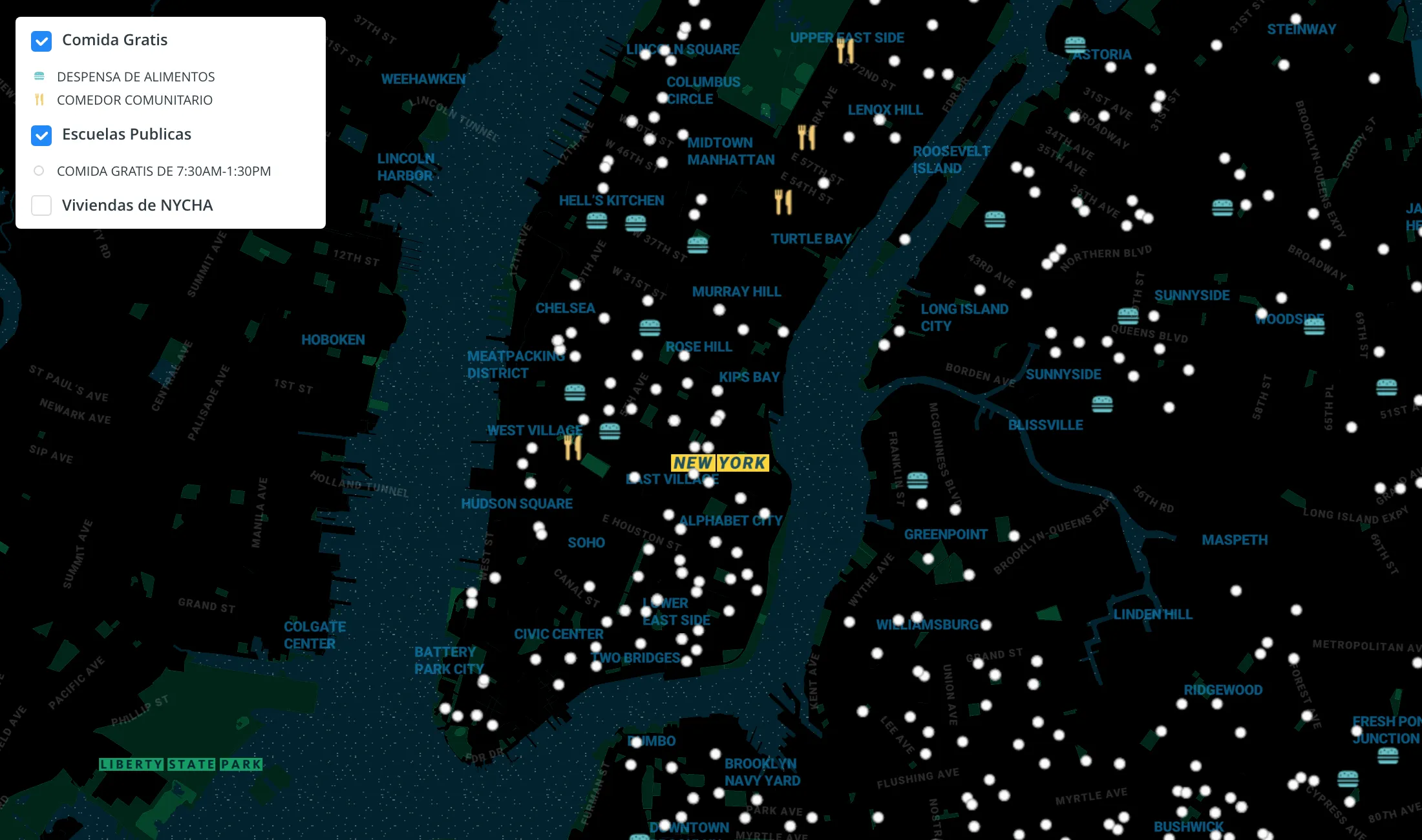
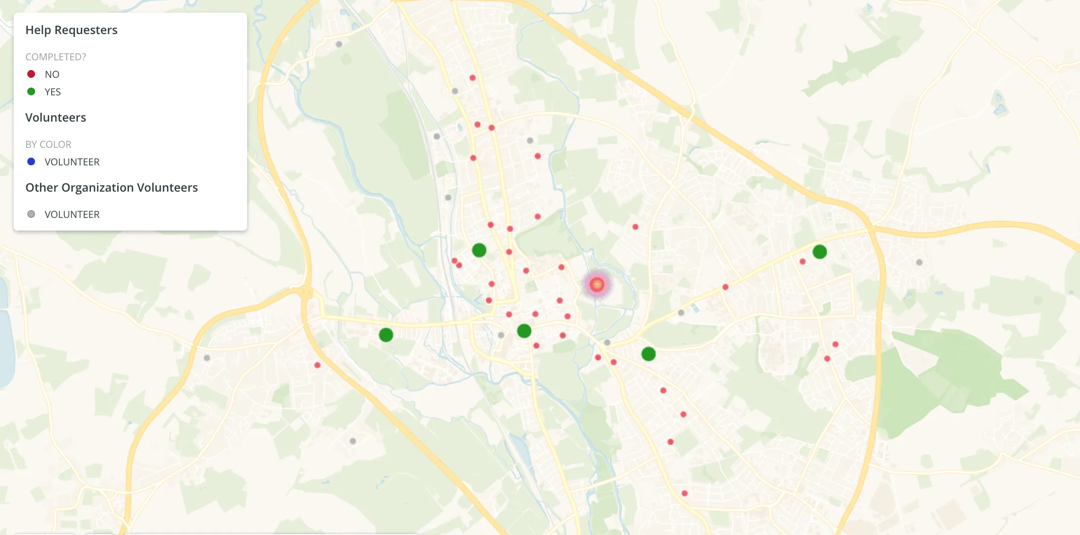
#StudentsAgainstCorona is a platform supported by our grants program enabling the pairing of volunteers with the elderly & vulnerable individuals who need support through the Coronavirus lockdown.