“More people in OOH advertising are incorporating GIS & location intelligence data into their media planning. Discover 5 advantages of making data-driven campaigns.”
“See how spatial analysis can be used to determine & visualize where access to resources is equitable & inequitable so we can start closing the U.S. equity gap.”
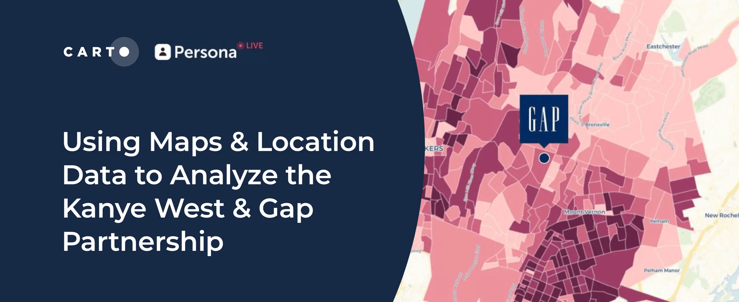
Kanye West's partnership with Gap generated a lot of buzz but how has it affected in store sales & visitation? Find out using maps & behavioral spatial data.
As the world’s population ages, discover how Assisted Living Facility owners & Private Equity can use CARTO for Site Selection to identify new optimal locations
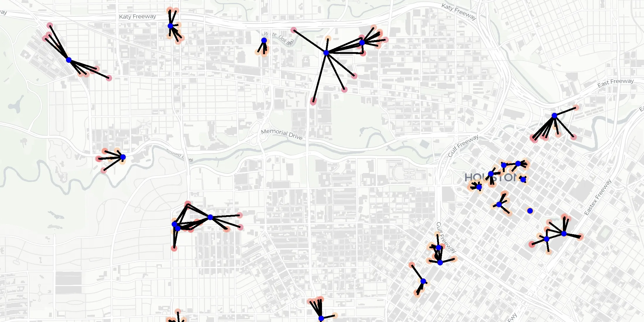
We are pleased to introduce 3 new functions for point data analysis in our Analytics Toolbox for Google Cloud BigQuery: K-nearest neighbors, Local Outlier Factor, & G-function
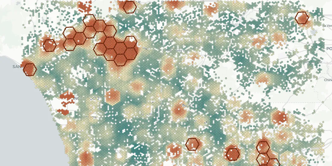
Discover how retailers can evaluate Black Friday & holiday sales performance using hotspot analysis, Safegraph foot traffic data, and the CARTO platform.
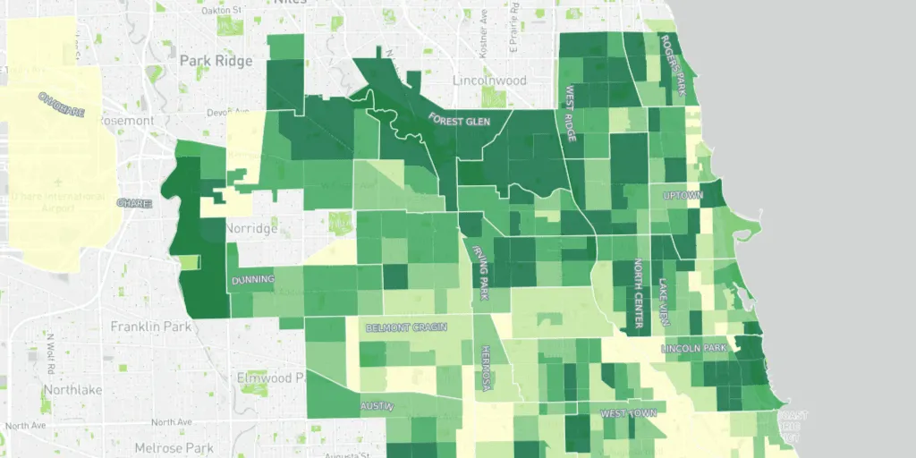
Learn how the University of Chicago built a tree equity solution to understand the impact that tree canopy cover has on social & health outcomes in the city of Chicago.