.webp)
Mobility Planning
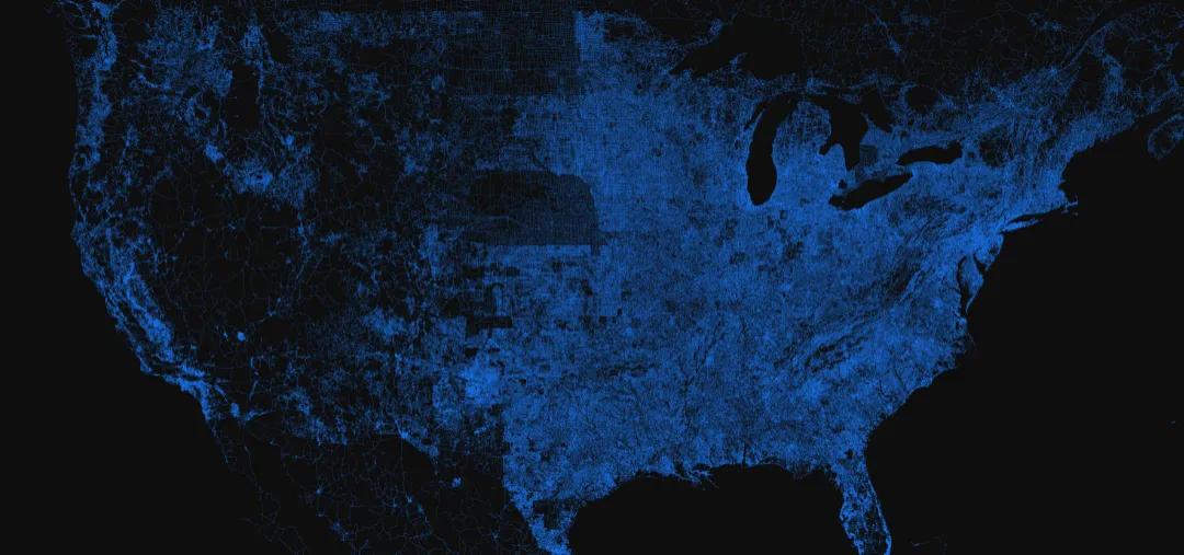
Unlock the geospatial power of location data streams for better urban planning and infrastructure management - building a smarter city for your citizens.
Trusted by the world's leading companies






.webp)
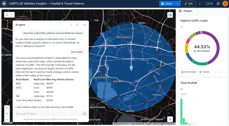
Better insights on commuting patterns
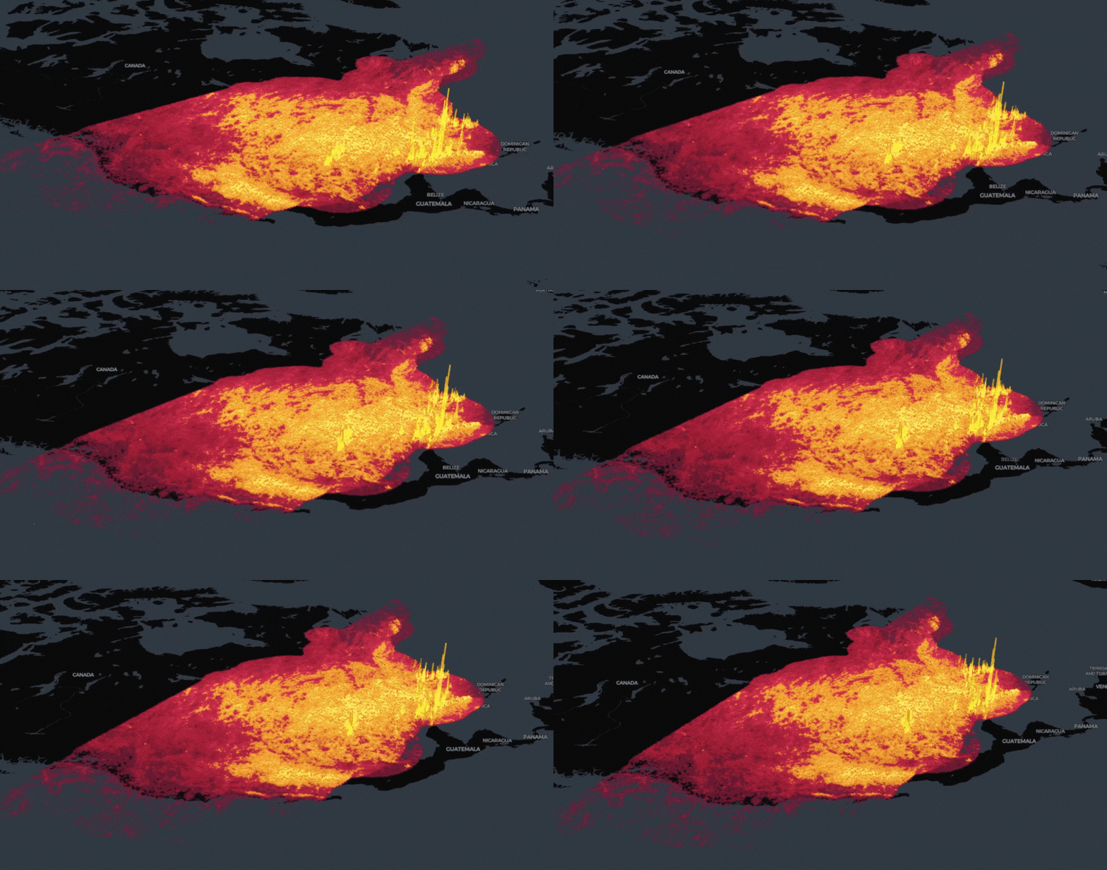
Use new data streams to understand commuting habits faster, driving agile decisions around new public transport routes or infrastructure investments.


Faster incident response
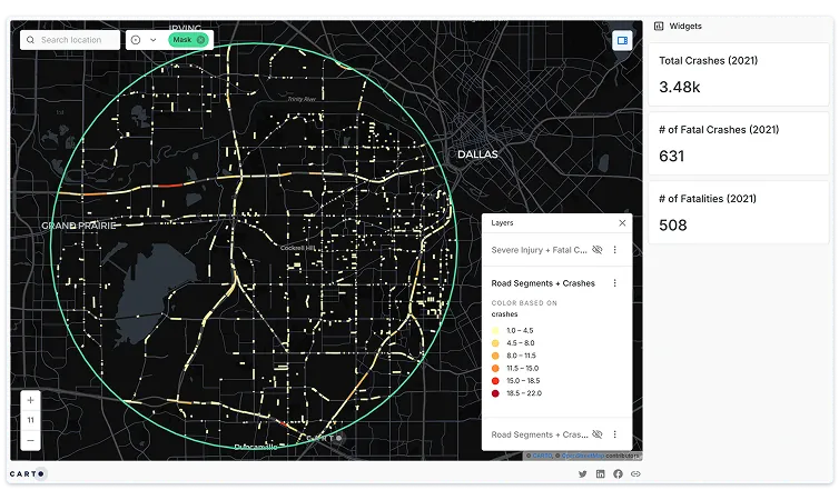
Use Location Intelligence to save time and money for your city by getting to incidents faster, using more data to keep your citizens safer.
.webp)
FEATURED STORIES


.webp)


.webp)